

")
Tropical Cyclone 19S (Fabien)
Tuesday, May 16, 2023
Current Snapshot
For all the latest updates visit: DisasterAWARE
pdceastpac

pdcclouds
pdcfabien

19S_161200sair

19S_tracks_latest
By PDC’s Senior Weather
Specialist Glenn James

Current Tropical Cyclones:
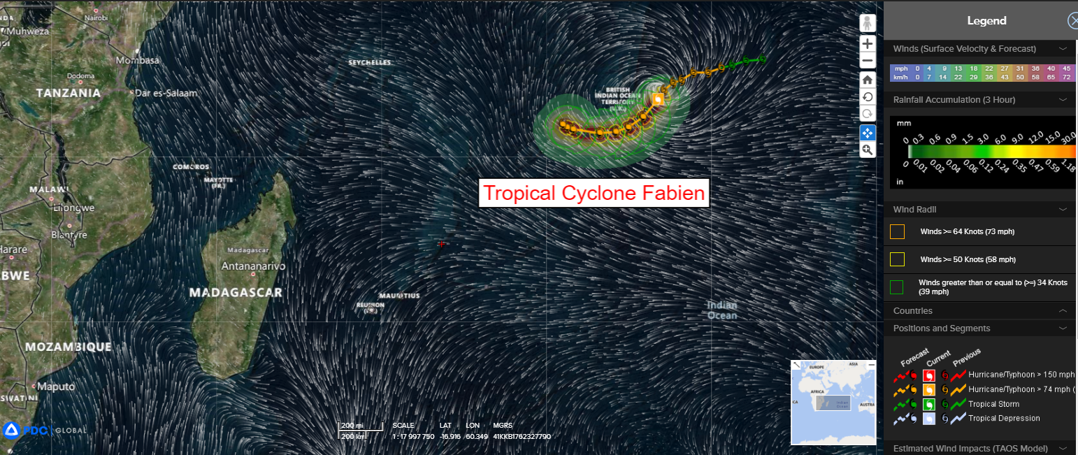
Tropical Cyclone 19S (Fabien)…is located approximately 123 NM southeast of Diego Garcia
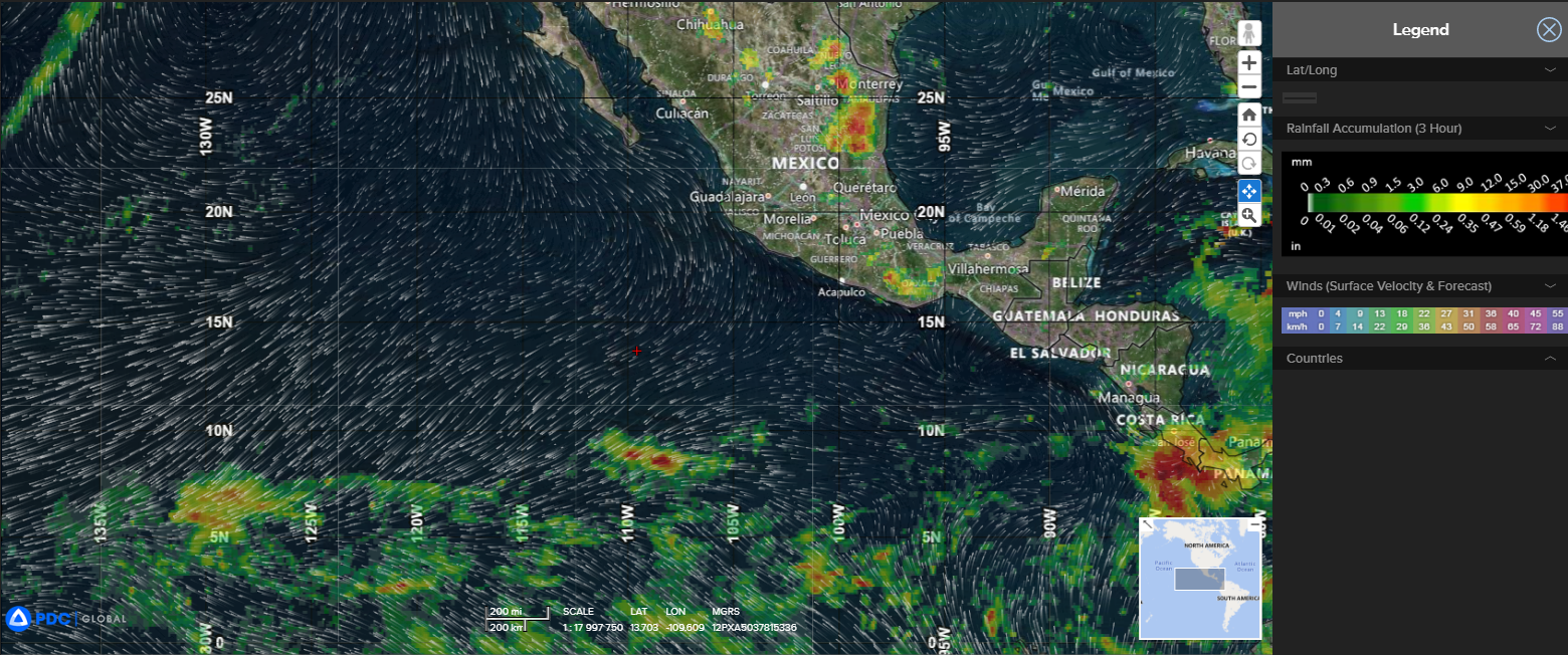
Northeast Pacific Ocean:
There are no tropical cyclones… nor any areas of disturbed weather under investigation by the National Hurricane Center (NHC)
Tropical cyclone formation is not expected during the next 7 days.
South Indian Ocean
Tropical Cyclone 19S (Fabien)
According to the JTWC Warning number 12, sustained winds were 95 knots, with gusts to 115 knots.
Animated multi-spectral satellite imagery depict a highly consolidated tropical cyclone with a well formed and symmetric 13 NM eye. A fortuitous microwave image shows a compact system with a single eye wall and deep convective bands wrapping into the center from the south.
TC 19S (Fabien) is forecast to continue tracking southwestward under the fading influence of the ridge to the southeast. It is important to mention the ridge seems to be breaking down slightly faster than originally anticipated.
Through 12 hours, 19S is forecast to remain in a favorable environment characterized by warm sea surface temperatures, low vertical wind shear and moderate outflow aloft, which is anticipated to peak the system near 105 knots. In the following 12 hours, dry air entrainment is forecast to begin to degrade the environment, which will result in slight weakening through 36 hours.
By this time, 19S will begin to transition primary steering influence to the ridge building over Madagascar. As this takes place, 19S will steady up on a generally westward course as the system continues to slowly weaken. By 72 hours, a near-equatorial ridge building just south of India will halt most of the systems forward momentum.
By 96 hours and through the forecast period, having weakened to 70 knots, 19S will be in a complex and competing steering environment between the ridge to the southwest and ridge to the north, which is forecast to turn the system equatorward and eventually quasi-stationary.
