

")
Tropical Cyclone 19S (Fabien) / Invest 97W
Wednesday, May 17, 2023
Current Snapshot
For all the latest updates visit: DisasterAWARE

pdc

pdc1

fabien

19S_170600sair
19S_tracks_latest
By PDC’s Senior Weather
Specialist Glenn James

Current Tropical Cyclones:
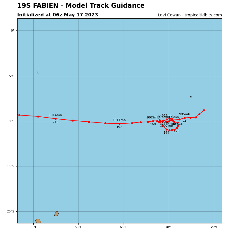
Tropical Cyclone 19S (Fabien)…is located approximately 128 NM southeast of Diego Garcia
Northeast Pacific Ocean:
There are no tropical cyclones…nor any areas of disturbed weather under investigation by the National Hurricane Center (NHC)
Tropical cyclone formation is not expected during the next 7 days.
South Indian Ocean
Tropical Cyclone 19S (Fabien)
According to the JTWC Warning number 16, sustained winds were 65 knots, with gusts to 80 knots.
Animated multi-spectral satellite imagery depicts an eroding convective cover that is exposing the low level circulation center (llcc) below. The llcc and upper level circulation center are beginning to decouple as upper level wind shear increases. A color composite microwave image shows significantly reduced convective activity due to dry air intrusion as the northwestern quadrant of the circulation is devoid of any deep convective structures.
TC 19S (Fabien) is forecast to continue tracking generally west-southwestward under the fading influence of the ridge to the southeast. As evidenced by the eroding western sector of the systems convective core, 19S is experiencing increasing dry air entrainment and vertical wind shear. This coupled with upwelling of cooler waters as the system transits over shallow ocean heat content regions will conspire to weaken the system over the next 12-24 hours.
By 24 hours as the environment surrounding 19S continues to degrade, the system will transition primary steering influence to a building ridge over Madagascar. As a result, 19S will steady up on a generally westward track as the system continues to weaken through 48 hours.
By 72 hours, 19S will enter a complex and competing steering environment as the ridge to the southwest and a building near-equatorial ridge to the north compete for steering control. As a result, the systems forward progress will be halted after which a sharp directional change is forecast to take place.
Furthermore, by 72 hours, vertical wind shear is forecast to significantly increase resulting in an intensity near 45 knots by 120 hours.
Western Pacific Ocean
>>> There’s an area of disturbed weather being referred to as Invest 97W…which is located approximately 468 NM south of Guam
Maximum sustained surface winds are estimated at 10 to 15 knots.
The potential for the development of a significant tropical cyclone within the next 24 hours is low.
