

")
Tropical Cyclone 19S (Fabien) / Invest 97W
Thursday, May 18, 2023
Current Snapshot
For all the latest updates visit: DisasterAWARE

pdcepac
pdcclouds

pdcfabien

19S_181200sair
19S_tracks_latest (1)

97w

himawari9_ir_97W_202305181310_lat5.4-lon149.1

97W_tracks_latest
By PDC’s Senior Weather
Specialist Glenn James

Current Tropical Cyclones:
Tropical Cyclone 19S (Fabien)…is located approximately 168 NM southwest of Diego Garcia
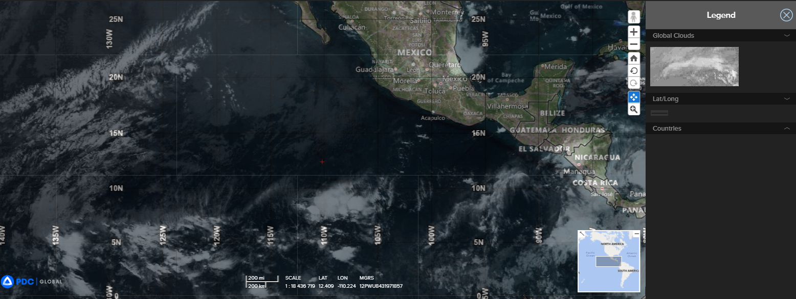
Northeast Pacific Ocean:
There are no tropical cyclones…nor any areas of disturbed weather under investigation by the National Hurricane Center (NHC)
Tropical cyclone formation is not expected during the next 7 days.
South Indian Ocean
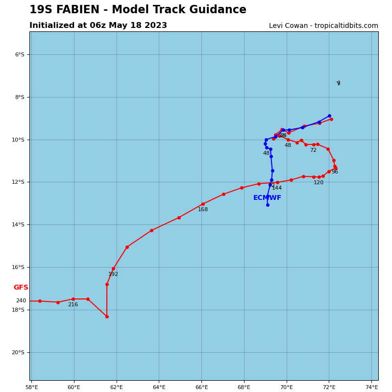
Tropical Cyclone 19S (Fabien)
According to the JTWC Warning number 19, sustained winds were 45 knots, with gusts to 55 knots.
Animated multi-spectral satellite imagery depicts exposed low-level spiral bands along the entire western periphery of the system, wrapping into a low level circulation center which is obscured by a recent flare up of convection. the low-level structure of the eastern portion of the system remains obscured by convective debris moving downstream along the outflow vector.
A microwave image revealed shallow convective bands wrapping into the low level circulation center with a band of cyclonically curved convection originating near the center and extending southeastward. Analysis of the images suggests the vortex is tilted to the southeast with height, consistent with the moderate west-northwesterly shear.
The environment is overall marginal, with moderate vertical wind shear, warm sea surface temperatures, and modest equatorward outflow.
By 72 hours, 19S will enter a complex and competing steering environment as the ridge to the southwest and a building near-equatorial ridge to the north compete for steering control. As a result, the systems forward progress will be halted after which a sharp directional change is forecast to take place.
Furthermore, by 72 hours, vertical wind shear is forecast to significantly increase resulting in an intensity near 45 knots by 120 hours.
There has been no significant change to the forecast for TC 19S (Fabien). The system is still expected to track slowly southwestward through 36 hours, as the cocoon it is nestled in, between the ridge to the northeast and the ridge to the southwest, itself drifts towards the southwest.
After 36 hours, two changes occur simultaneously; the ridge strengthens and begins to move to the west, while the other ridge remains over northern Madagascar, and a upper-level trough will slide by to the south of the system. The combination of these changes will eject TC 19S towards the southeast.
As the overall environment is marginal and is not expected to change, there is no major change forecast in the intensity through 36 hours, though short-duration excursions above or below the forecast intensity are possible due to diurnal effects or short-term changes in the environment.
However, after 36 hours, as the system starts to move to the southeast, global models suggest waves of southwesterly flow will move over the system, ushering in pulses of dry mid-level air and increases in shear, steadily weakening the system down to just 35 knots by 96 hours.
As the system weakens to a weak tropical storm the steering level will lower. The low-level anticyclone to the south will then assume the primary steering role, and TC 19S will shift to a westward track through the remainder of the forecast period.
Western Pacific Ocean
>>> There’s an area of disturbed weather being referred to as Invest 97W…which is located approximately 184 NM southwest of Chuuk, Micronesia
Animated multi-spectral satellite imagery reveals disorganized, deep flaring convective lines to the south of a broad and elongated low level circulation center, with hints at multiple areas of vorticity rotating along the trough axis.
Environmental analysis shows that the system is currently in a favorable environment due to warm sea surface temperatures, low (10-15 knot) vertical wind shear and good equatorward outflow.
Deterministic models agree that 97W will continue consolidate while moving in a general north-northwestward trajectory, though the ensemble guidance depict a very large amount of spread, indicative of the uncertainty in the initial position and high uncertainty in the forecast track.
Maximum sustained surface winds are estimated at 15 to 20 knots.
The potential for the development of a significant tropical cyclone within the next 24 hours is upgraded to medium.
