

")
Tropical Cyclone 19S (Fabien) / Invest 97W
Friday, May 19, 2023
Current Snapshot
For all the latest updates visit: DisasterAWARE
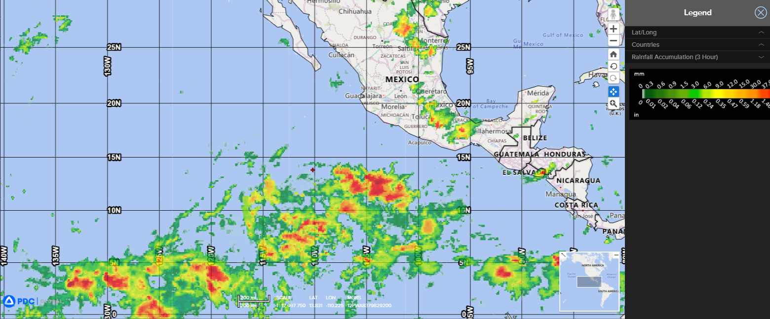
rain

wind

clouds

pdcfabien

19S_190600sair

19S_tracks_latest

97w

20230519.133000.WP972023.ahi.himawari-9.Infrared-Gray.20kts.100p0.1p0

97W_tracks_latest
By PDC’s Senior Weather
Specialist Glenn James

Current Tropical Cyclones:
Tropical Cyclone 19S (Fabien)…is located approximately 257 NM southwest of Diego Garcia
Northeast Pacific Ocean:
There are no tropical cyclones…nor any areas of disturbed weather under investigation by the National Hurricane Center (NHC)
Tropical cyclone formation is not expected during the next 7 days.
South Indian Ocean
Tropical Cyclone 19S (Fabien)
According to the JTWC Warning number 23, sustained winds were 45 knots, with gusts to 55 knots.
Despite a recent burst of persistent convective activity near the assessed low level circulation center, the overall structure of TC 19S (Fabien) remains relatively disorganized. animated enhanced infrared satellite imagery depicts a burst of strong convection and a ragged central dense overcast feature. A microwave pass showed a false microwave eye under the strongest convection, while another image showed well-defined low-level banding features, analysis of which lent medium confidence to the initial position, placed on the northwest edge of the deep convection.
The system continues to move slowly to the southwest in a weak steering pattern. Other than a recent decrease in southerly shear, the environment remains relatively static, with warm sea surface temperatures, and moderate poleward and equatorward outflow.
The environment is overall marginal, with moderate vertical wind shear, warm sea surface temperatures, and modest equatorward outflow.
The system will track slowly to the southwest for the next 12 hours, before turning sharply to the south-southeast as the ridge to the northeast strengthens and moves west, and becomes the dominant steering influence. a brief period of intensification to 50 knots is expected between 12 and 24 hours, as the system basks in the low shear environment and the atmosphere moistens up a bit.
These favorable conditions will be short-lived however, and soon after turning southeast, the system will encounter increasing shear, cooler sea surface temperatures and decreasing outflow aloft, which will combine to steadily weaken the system through the remainder of the forecast. The system is expected to weaken below tropical storm strength no later than 120 hours..
As the system steadily weakens and the steering level lowers, it will come under the steering influence of the low to mid-level anticyclone far to the south, and turn onto a westward track after 72 hours.
Western Pacific Ocean
>>> There’s an area of disturbed weather being referred to as Invest 97W…which is located approximately 588 NM south-southeast of Guam
Animated enhanced multi-spectral satellite imagery and a microwave pass depict gradually consolidating convective cloud lines gradually wrapping into a mostly obscured low level circulation center (llcc). /span>
Environmental analysis indicates a favorable environment with low to moderate (10-15 knot) vertical wind shear, warm sea surface temperatures, and moderate poleward outflow aloft
Global models are in good agreement that 97W will track north-northwestward as it consolidates over the next 12-24 hours. There is significant uncertainty associated with where the primary llcc will eventually develop. However, once the llcc is established, it is likely that the system will become a rapidly intensifying tropical cyclone.
Any subsequent warning and associated track forecast will be highly contingent upon the location of the llcc once it becomes established.
Maximum sustained surface winds are estimated at 18 to 23 knots.
The potential for the development of a significant tropical cyclone within the next 24 hours is upgraded to high.
