Current Snapshot
For all the latest updates visit: DisasterAWARE
By PDC’s Senior Weather
Specialist Glenn James

Current Tropical Cyclones:
Tropical Cyclone 02W (Mawar)…is located approximately 251 NM south-southeast of Andersen AFB
Northeast Pacific Ocean:
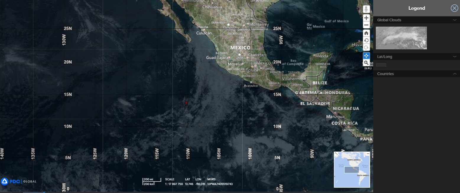
There are no tropical cyclones…nor any areas of disturbed weather under investigation by the National Hurricane Center (NHC)
Tropical cyclone formation is not expected during the next 7 days.
Western Pacific Ocean
Tropical Cyclone 02W (Mawar)
According to the JTWC Warning number 12, sustained winds were 110 knots, with gusts to 135 knots.
Animated enhanced infrared satellite imagery depicts an increasingly symmetric central dense overcast with deep
convective bands in the northern and western quadrants.
TY 02W (Mawar) is forecast to continue tracking generally west-northwestward under the steering influence of the ridge to the east. 02W is forecast to remain in a favorable environment characterized by vigorous upper level outflow and warm sea surface temperatures offset slightly by low-moderate vertical wind shear.
TY 02W (Mawar) as 02W continues to develop and intensify, the system will cocoon itself in a moisture pocket and generally shrug off the dry air being funneled equatorward by the ridge to the west. These elements will strengthen the system to around 105 knots by 36 hours.
Around the same time, the ridge to the east will reorient and shift poleward, forcing 02W to alter course and steady up on a west-northwestward heading. After passing equatorward of Guam, 02W will continue into the Philippine Sea with plenty of deep ocean heat content to continue gaining strength and eventually reach a peak intensity of 125 knots by 120 hours, which is just short of super-typhoon strength.


