Current Snapshot
For all the latest updates visit: DisasterAWARE
By PDC’s Senior Weather
Specialist Glenn James

Current Tropical Cyclones:
Typhoon 02W (Mawar)…is located approximately 453 NM south-southwest of Kadena AB, Okinawa
Northeast Pacific Ocean:
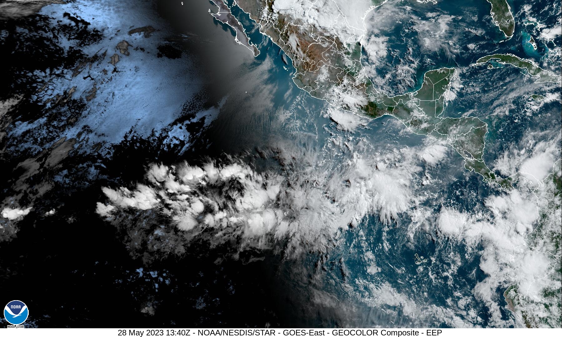
There are no tropical cyclones…nor any areas of disturbed weather under investigation by the National Hurricane Center (NHC)
Tropical cyclone formation is not expected during the next 7 days.
Western Pacific Ocean
Typhoon 02W (Mawar)
According to the JTWC Warning number 37, sustained winds were 105 knots, with gusts to 130 knots.
Animated enhanced infrared satellite imagery depicts slightly improved core convective structure with a warmer eye temperature and colder cloud top temperatures associated with a more consolidated eyewall, However, convective banding remains weaker and more fragmented over the northern semi-circle.
Environmental conditions have remained difficult to assess as the system tracks along a tight gradient of sea surface temperatures. Sea surface temperature fields indicate the system’s core may be located over a narrow finger of higher sea surface temperature values, which may be providing a temporary boost but is expected to be short-lived.
Sea surface temperature values are moderately favorable under the core and southern semi-circle but are cooler and unfavorable under the northern semicircle. A microwave image reveals a near-complete, symmetric eyewall surrounding a well-defined microwave eye feature with intense spiral banding primarily over the southern semicircle and weaker, more fragmented convective banding elsewhere.
TY 02W is forecast to track west-northwestward to northwestward over the next two days but will gradually slow significantly by day 3, as it enters a competing steering environment between a ridge to the east and a ridge to the west over southeast China.
Steady weakening is anticipated due to cooling sea surface temperatures and upwelling cooler water as the system slows. After day 3, TY 02W will drift poleward within the competing steering pattern while weakening steadily due to cooler sea surface temperature values and dry air entrainment.


