

")
Invest 90W / Invest 98S
Wednesday, April 5, 2023
Current Snapshot
For all the latest updates visit: DisasterAWARE
90w
20230405.232000.WP902023.ahi.himawari-9.Infrared-Gray.15kts.100p0.1p0

90W_tracks_latest
98s

20230406.022000.SH982023.ahi.himawari-9.Infrared-Gray.20kts.100p0.1p0
98S_tracks_latest
By PDC’s Senior Weather
Specialist Glenn James

Current Tropical Cyclones:
There are no tropical cyclones
Northwest Pacific Ocean
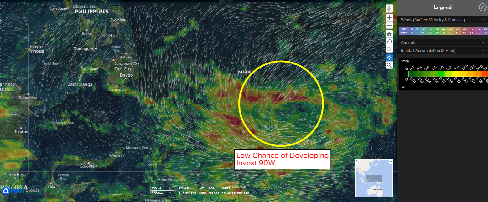
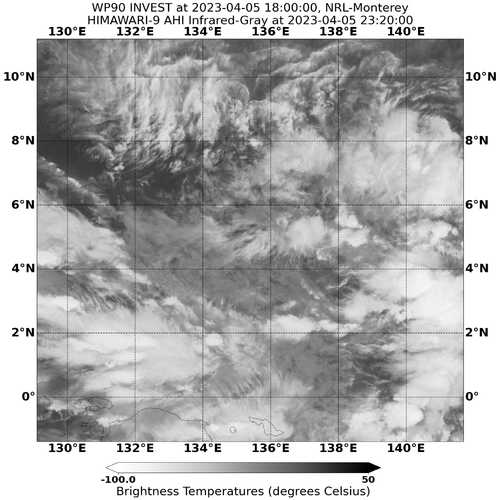
>>> There’s an area of disturbed weather being referred to as Invest 90W…which is located approximately 190 NM south-southeast of Palau.
Animated enhanced infrared satellite imagery depicts persistent formative convective banding over the northern and western peripheries. A microwave image indicates deep convective banding wrapping around a broad low-level circulation center.
Upper-level analysis reveals a marginally favorable environment with diffluent easterly outflow offset by moderate to high (20-25 knot) vertical wind shear. Sea surface temperature values are highly conducive.
Global models show a slow northwestward track over the next two days with gradual development.
Maximum sustained surface winds are estimated at 13 to 18 knots.
The potential for the development of a significant tropical cyclone within the next 24 hours is low.
South Indian Ocean
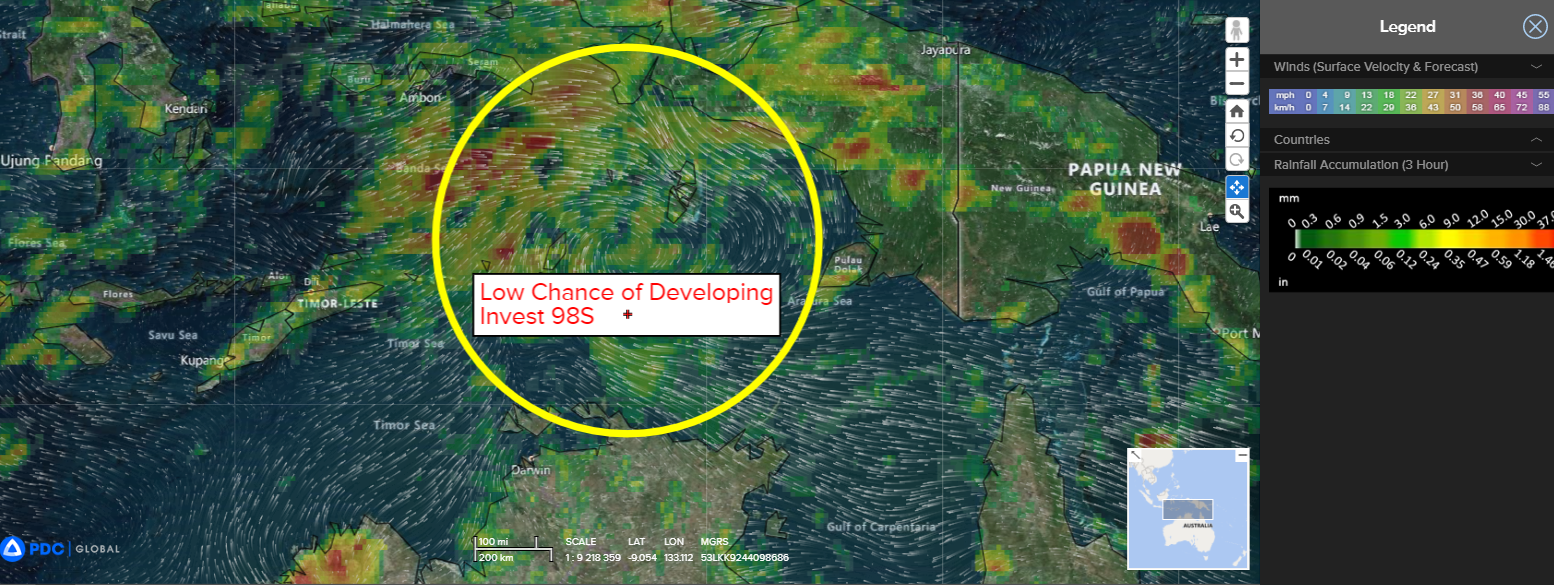
>>> There’s a second area of disturbed weather being referred to as Invest 98S…which is located approximately 294 NM north-northeast of Darwin, Australia.
Animated multi-spectral satellite imagery and a microwave pass depicts an area of persistent and gradually organizing deep convection in the southwestern semicircle of a partially-exposed low level circulation.
Environmental analysis reveals a marginally favorable environment for genesis indicated by low to moderate vertical wind shear, offset by very warm sea surface temperatures, and strong divergence aloft.
Models are in agreement on a west-southwestward track while being divided on timeline, the GFS is aggressive, indicating genesis within 48 hours, while the other deterministic and ensemble models expect genesis outside 96 hours.
Maximum sustained surface winds are estimated at 15 to 20 knots.
The potential for the development of a significant tropical cyclone within the next 24 hours is low.
