

")
Tropical Cyclone 18S (Ilsa) / Invest 90W
Wednesday, April 12, 2023
Current Snapshot
For all the latest updates visit: DisasterAWARE

pdc18s

18S_130000sair
18S_tracks_latest

90w

20230412.133000.WP902023.ahi.himawari-9.Infrared-Gray.15kts.100p0.1p0

90W_tracks_latest (1)
By PDC’s Senior Weather
Specialist Glenn James

Current Tropical Cyclones:
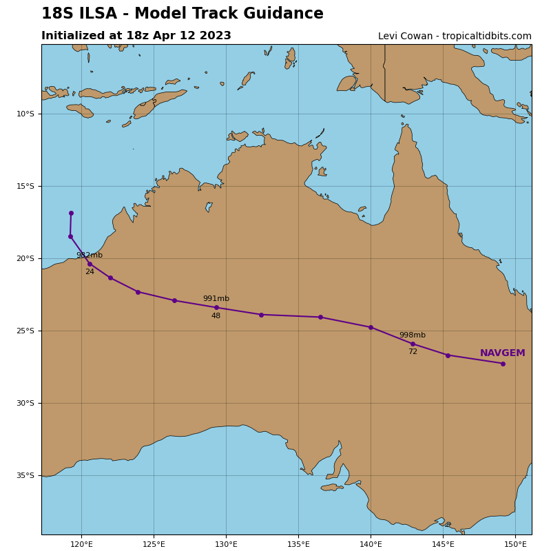
Tropical Cyclone 18S (Ilsa)…is located approximately 394 NM northeast of Learmonth, Australia
South Indian Ocean
Tropical Cyclone 18S (Ilsa)
According to JTWC Warning number 18, sustained winds were 115 knots, with gusts to 140 knots.
Animated enhanced infrared satellite imagery depicts a compact symmetric circulation with vertical hot towers evident in the core of the system. An analysis of brightness temperature indicates the system is still struggling to form an eye as evidenced by the short lived but frequent warm spots forming
over the systems center. A microwave image reveals a small microwave eye and much improved eye wall structure. A comparison of the last several hours of microwave imagery reveals a notable wobble of the microwave eye making exact positioning more difficult.
TC 18S (Ilsa) is forecast to continue rounding the ridge axis over the next 24 hours. During that time the system will continue to track south-southwestward then southward and eventually south-southeastward all the while continuing to intensify.
By 24 hours, warm sea surface temperatures, high ocean heat values, low vertical wind shear and strong outflow aloft will more than compensate for the dry air fighting to entrain the system. As a result TC Ilsa is forecast to reach its peak intensity near 130 knots and possibly a bit higher.
Near 30 hours the system will make landfall over Eighty Mile Beach, proceed inland and quickly weaken, eventually dissipating by 72 hours.
Northwest Pacific Ocean
>>> There’s an area of disturbed weather being referred to as Invest 90W…which is located approximately 38 NM northeast of Legazpi, Philippines.
Animated enhanced multi-spectral satellite imagery depicts weakening convection broadening across the central Philippines as the low level circulation center makes landfall.
90W is in a predominantly unfavorable environment, due to land interaction, despite low (05-10 knot) vertical wind shear, and warm sea surface temperatures.
Global models are in agreement that 90W will continue westward and dissipate over the Philippines.
Maximum sustained surface winds are estimated at 15 to 20 knots.
The potential for the development of a significant tropical cyclone within the next 24 hours remains low.
