

")
Invest 91B
Monday, May 8, 2023
Current Snapshot
For all the latest updates visit: DisasterAWARE
pdc

20230508.075000.aqua.modis.Visible.tc2391BINVEST.covg93p4.unknown.res1km

91B_tracks_latest (2)
By PDC’s Senior Weather
Specialist Glenn James

Current Tropical Cyclones:
There are no tropical cyclones
North Indian Ocean
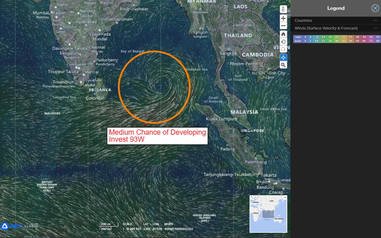
>>> There’s an area of disturbed weather being referred to as Invest 91B, which is located approximately 321 NM southwest of Port Blair.
Multi-spectral satellite imagery and a microwave image reveal a depression-like structure with formative convective banding. 91B has become much more organized, with numerous overshooting cloud tops within the broader convective canopy. .
Environmental analysis indicates favorable conditions for development with improving equatorward outflow, low (5-10 knot) vertical wind shear, and very warm sea surface temperatures.
As 91B continues to consolidate, global deterministic and ensemble models are in strong agreement that it will intensify in response to a westerly wind burst over the southern portion of the Bay of Bengal which is enhancing the potential for tropical cyclone development.
Maximum sustained surface winds are estimated at 23 to 28 knots.
The potential for the development of a significant tropical cyclone within the next 24 hours is upgraded to medium.
