

")
Tropical Cyclone 15E (Lidia) / Tropical Cyclone 14W (Koinu) / Invest 99E / Invest 98W
Thursday, October 5, 2023
Current Snapshot
For all the latest updates visit: DisasterAWARE

epac1

epac2

pdclidia

tsatlidia

145514_earliest_reasonable_toa_34lidia

15E_tracks_latestlidia

99e2

99e7
2

7

pdck

jtwck

tsatk

14W_tracks_latestk

pdc98w

tsat98

98W_tracks_latest
By PDC’s Senior Weather
Specialist Glenn James

The Pacific Disaster Center’s (PDC Global) Thursday, October 5, 2023, Tropical Cyclone Activity Report…for the Pacific Ocean, the Indian Ocean, and adjacent Seas
Current Tropical Cyclones:
Tropical Cyclone 15E (Lidia)…is located about 490 miles south of the southern tip of Baja California
Tropical Cyclone 14W (Koinu)…is located approximately 197 NM east of Hong Kong
Northeast Pacific Ocean:
Tropical Cyclone 15E (Lidia)
LIDIA GRADUALLY STRENGTHENING AND NEARLY STATIONARY
According to the NHC Advisory number 12…
Lidia is moving toward the west near 2 mph (4 km/h) and this motion is expected to continue through Friday night or Saturday morning with a slight increase forward speed. Later this weekend, a turn back toward the west-northwest and then northwest is forecast.
Maximum sustained winds are near 65 mph (100 km/h) with higher gusts. Additional strengthening is forecast during the next few days, and Lidia could become a hurricane this weekend.
Tropical-storm-force winds extend outward up to 70 miles (110 km) from the center.
>>> South of Central America…
Invest 99E
An area of disorganized showers and thunderstorms located south of the Gulf of Tehuantepec is associated with a trough of low pressure.
Environmental conditions are expected to be conducive for gradual development during the next several days, and a tropical depression is likely to form this weekend or early next week while the disturbance moves slowly west-northwestward.
* Formation chance through 48 hours…medium…40 percent
* Formation chance through 7 days…high…80 percent
>>> Western East Pacific…
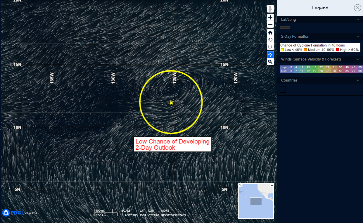
An elongated area of low pressure located about 1200 miles southwest of the southern tip of the Baja California peninsula is producing limited shower activity.
Development of this system is no longer anticipated while it drifts generally westward over the western part of the East Pacific during the next few days.
* Formation chance through 48 hours…low…near 0 percent
* Formation chance through 7 days…low…near 0 percent
Central North Pacific:
There are no tropical cyclones, nor any areas of disturbed weather under investigation by the CPHC at the time of this writing.
Western Pacific, Indian Ocean and adjacent Seas:
Western Pacific…
Tropical Cyclone 14W Koinu
According to the JTWC Warning number 27…
Sustained winds were 75 knots…with gusts to near 90 knots
Animated enhanced infrared satellite imagery and animated radar imagery depict a degraded typhoon strength circulation that continues to track westward away from the southern tip of Taiwan under the influence of a deep-layer subtropical ridge (str) across the East China Sea. A color composite microwave image reveals deep convective banding over the southern semicircle. Animated radar imagery indicates a well-defined circulation center with the northeastern semicircle struggling to maintain cohesion. Animated water vapor imagery shows the outflow continues to show a steady reduction as most of the outflow aloft is constrained equatorward.
Environmental conditions remain marginal, with warm sea surface temperatures and moderate equatorward outflow offset by low-moderate northeasterly shear and dry air entrainment.
Over the past six hours, Typhoon 14W (Koinu) has tracked generally westward and is forecast to continue through 48 hours. After 48 hours, 14W is expected to slow down as it approaches the southeastern coast of China. A str over east-central China becomes the dominant steering feature, which will turn 14W southwestward and force the system equatorward toward the vicinity of Hainan Island through the end of the forecast.
in terms of intensity, the system will move into an area of very weak upper-level outflow, as well as a cooler, more stable airmass, with an increase in dry air entrainment anticipated through 72 hours. The less favorable environmental factors, along with the potential of land interaction of the outermost wind field, will also contribute to the dissipation by 120 hours.
>>> There’s an area of disturbed weather being referred to as Invest 98W…which is located approximately 145 NM north-northwest of Pohnpei.
Animated multi-spectral satellite imagery, along with a microwave image, depict an ill-defined low-level circulation with a broad area of fragmented convection on the southwest quadrant.
Upper-level analysis indicates divergence aloft with moderate equatorward outflow, low (10-15 knot) vertical wind shear, and very warm sea surface temperatures.
Global models are in good agreement that 98W will track generally west-northwestward and continue to develop over the next 24 to 48 hours.
Maximum sustained surface winds are estimated at 13 to 17 knots.
The potential for the development of a significant tropical cyclone within the next 24 hours is upgraded to medium.
>>> There’s an area of disturbed weather being referred to as Invest 97W…which is located approximately 246 NM west of Andersen AFB, Guam.
Maximum sustained surface winds are estimated at 18 to 22 knots.
The potential for the development of a significant tropical cyclone within the next 24 hours is low.
