

")
Invest 98B / Invest 96S
Monday, January 8, 2024
Current Snapshot
For all the latest updates visit: DisasterAWARE
10
By PDC’s Senior Weather
Specialist Glenn James

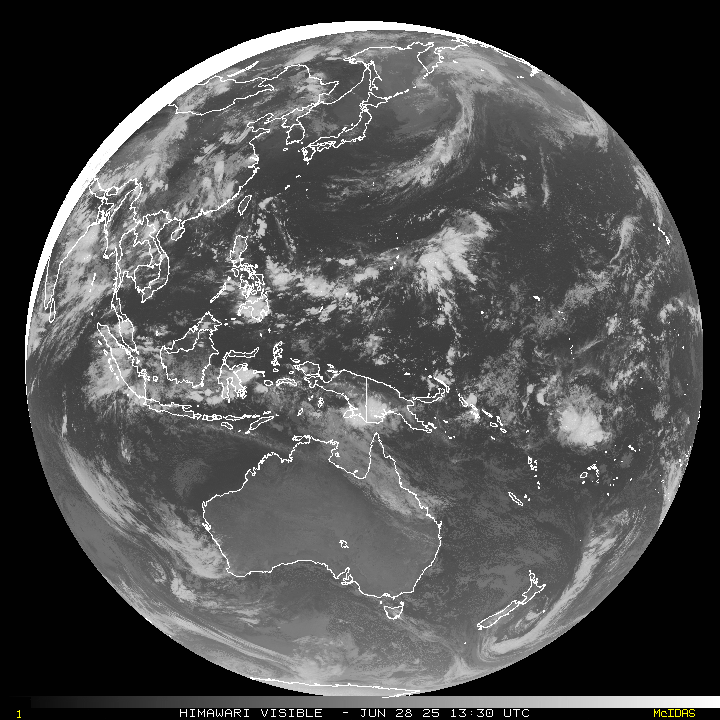
The Pacific Disaster Center’s (PDC Global) Monday, January 8, 2024, Tropical Cyclone Activity Report…for the Pacific Ocean, the Indian Ocean, and adjacent Seas
Current Tropical Cyclones:
There are no tropical cyclones
Northeast Pacific Ocean:
The North Pacific hurricane season officially ended on November 30, 2023. Routine issuance of the Tropical Weather Outlook will resume on May 15, 2024. During the off-season, Special Tropical Weather Outlooks will be issued as conditions warrant.
The eastern Pacific basin hurricane season was above normal, with 17 named storms, of which 10 were hurricanes and eight of those major hurricanes.
From August 16 to 21, Tropical Storm Hilary brought widespread heavy rainfall and flooding to Southern California, with some areas receiving up to 600% of their normal August rainfall. Hilary resulted in the first ever issuance of Tropical Storm Watches and Warnings for the Southern California coastline by NOAA’s National Hurricane Center. In addition, the Center distributed key hazard focused messages for Hilary in Spanish through the agency’s new language translation project.
Hurricane Otis made landfall near Acapulco, Mexico, on October 25 as a category-5 hurricane, with sustained winds of 165 mph. Otis holds the record as the strongest land falling hurricane in the eastern Pacific, after undergoing rapid intensification in which wind speeds increased by 115 mph in 24 hours.
Central North Pacific:
The central North Pacific hurricane season officially ended on November 30, 2023. Routine issuance of the Tropical Weather Outlook will resume on June 1, 2024. During the off-season, Special Tropical Weather Outlooks will be issued as conditions warrant.
The central Pacific basin had a near-normal season with four tropical systems traversing the basin.
Hurricane Dora, a category-4 storm, passed south of Hawaii in early August, marking the first major hurricane in the central Pacific basin since 2020. The strong gradient between a high pressure system to the north and Dora to the south was a contributing factor to the wind-driven, fast-moving wildfires in Hawaii.
Western Pacific, Indian Ocean and adjacent Seas:
North Indian Ocean…
There’s an area of disturbed weather, being referred to as Invest 98B…located approximately 290 NM southeast of Colombo, Sri Lanka.
Recent animated multi-spectral satellite imagery shows deep convection flaring on the northwestern periphery of a broad and partially exposed low level circulation center.
Upper-level analysis indicates moderate to strong (20-25 knot) easterly vertical wind shear (vws) with strong westward and poleward divergence aloft. Sea surface temperatures are conducive, but vws is expected to remain moderate to strong and prevent development in the near term as the system tracks westward into the Arabian Sea over the next several days.
Maximum sustained surface winds are estimated at 20 to 25 knots.
The potential for the development of a significant tropical cyclone within the next 24 hours is low.
South Indian Ocean…
There’s an area of disturbed weather, being referred to as Invest 96S…located approximately 380 NM east-southeast of Diego Garcia.
recent animated multi-spectral satellite imagery shows deep convection persisting along the western and northern peripheries of a developing low level circulation center.
The circulation is passing over very warm water but currently lies in an area of low to moderate (15-20 knot) easterly vertical wind shear, and is expected to track equatorward into a zone of higher shear over the next few days.
Maximum sustained surface winds are estimated at 20 to 25 knots.
The potential for the development of a significant tropical cyclone within the next 24 hours is low.
