

")
Tropical Cyclone 04S (Alvaro)
Tuesday, January 2, 2024
Current Snapshot
For all the latest updates visit: DisasterAWARE
10

pdcalvaro

04S_021200sair
By PDC’s Senior Weather
Specialist Glenn James

The Pacific Disaster Center’s (PDC Global) Tuesday, January 2, 2024, Tropical Cyclone Activity Report…for the Pacific Ocean, the Indian Ocean, and adjacent Seas
Current Tropical Cyclones:
Tropical Cyclone 04S (Alvaro)…is located approximately 262 NM south-southeast of Antananarivo, Madagascar
Northeast Pacific Ocean:
The North Pacific hurricane season officially ended on November 30, 2023. Routine issuance of the Tropical Weather Outlook will resume on May 15, 2024. During the off-season, Special Tropical Weather Outlooks will be issued as conditions warrant.
The eastern Pacific basin hurricane season was above normal, with 17 named storms, of which 10 were hurricanes and eight of those major hurricanes.
From August 16 to 21, Tropical Storm Hilary brought widespread heavy rainfall and flooding to Southern California, with some areas receiving up to 600% of their normal August rainfall. Hilary resulted in the first ever issuance of Tropical Storm Watches and Warnings for the Southern California coastline by NOAA’s National Hurricane Center. In addition, the Center distributed key hazard focused messages for Hilary in Spanish through the agency’s new language translation project.
Hurricane Otis made landfall near Acapulco, Mexico, on October 25 as a category-5 hurricane, with sustained winds of 165 mph. Otis holds the record as the strongest land falling hurricane in the eastern Pacific, after undergoing rapid intensification in which wind speeds increased by 115 mph in 24 hours.
Central North Pacific:
The central North Pacific hurricane season officially ended on November 30, 2023. Routine issuance of the Tropical Weather Outlook will resume on June 1, 2024. During the off-season, Special Tropical Weather Outlooks will be issued as conditions warrant.
The central Pacific basin had a near-normal season with four tropical systems traversing the basin.
Hurricane Dora, a category-4 storm, passed south of Hawaii in early August, marking the first major hurricane in the central Pacific basin since 2020. The strong gradient between a high pressure system to the north and Dora to the south was a contributing factor to the wind-driven, fast-moving wildfires in Hawaii.
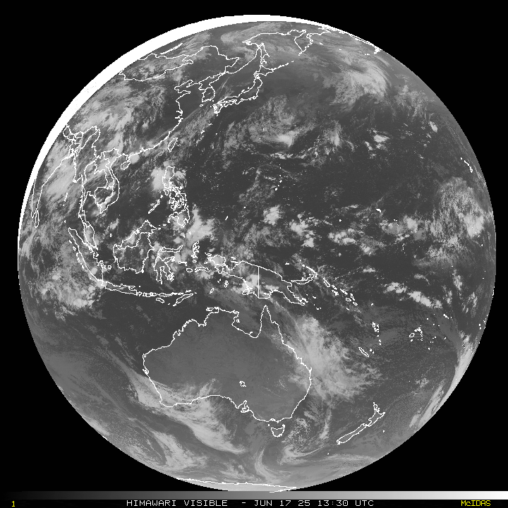
Western Pacific, Indian Ocean and adjacent Seas:
South Indian Ocean…
Tropical Cyclone 04S (Alvaro)
According to the JTWC warning number 6, sustained winds were 40 knots with gusts to 50 knots
Animated multi-spectral satellite imagery shows that tropical cyclone 04S (Alvaro) has undergone rapid vortex decoupling, with a ragged low level circulation center now visible west of the north-south oriented terrain features, while the mid-level vorticity center and associated convection continues to push off to the east. A microwave image showed weak low level banding features displaced to the west of an area of symmetrical convection, which marks the eastern vorticity lobe.
Analysis reveals a marginally favorable environment characterized by moderate to strong poleward outflow offset by 20-25 knots of westerly shear the influence of terrain.
TC 04S is forecast to track southeastward along the southern side of the ridge throughout the short duration of the forecast period, with some acceleration after 12 hours as the gradient tightens between the ridge and a trough to the south. The mid-level vorticity associated with the eastern lobe of a fully decoupled TC 04S, is set to emerge back over water off the eastern coast of Madagascar within the next few hours.
Once this occurs, a rapid, top-down redevelopment is anticipated, taking advantage of a brief window of slightly lower vertical wind shear, warm sea surface temperatures and strong poleward outflow, allowing the system to
re-intensify up to 40 knots by 12 hours. Shear is expected to remain near 20 knots through about 24 hours before rapidly increasing to very high levels. The rapid increase in west-northwesterly shear will also usher in a very dry air mass.
The combined effects of the increased shear and dry air will decapitate the system and smother the remaining low-level circulation after 24 hours, leading to rapid weakening and dissipation by 48 hours.
