

")
Tropical Cyclone 04S (Alvaro)
Wednesday, January 3, 2024
Current Snapshot
For all the latest updates visit: DisasterAWARE
7

pdc

04S_031200sair
By PDC’s Senior Weather
Specialist Glenn James

The Pacific Disaster Center’s (PDC Global) Wednesday, January 3, 2024, Tropical Cyclone Activity Report…for the Pacific Ocean, the Indian Ocean, and adjacent Seas
Current Tropical Cyclones:
Tropical Cyclone 04S (Alvaro)…is located approximately 353 NM south of St. Denis – Final Warning
Northeast Pacific Ocean:
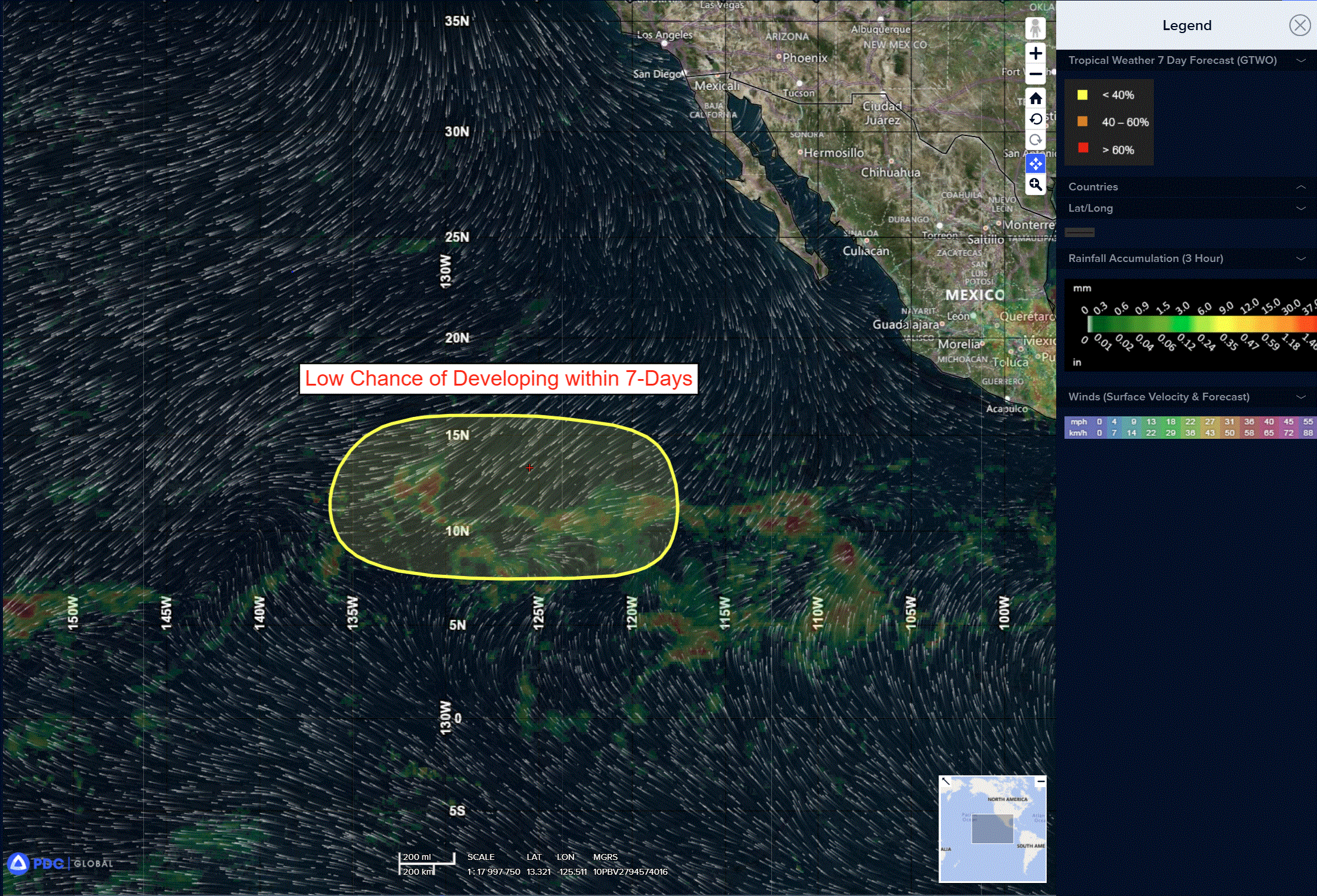
The North Pacific hurricane season officially ended on November 30, 2023. Routine issuance of the Tropical Weather Outlook will resume on May 15, 2024. During the off-season, Special Tropical Weather Outlooks will be issued as conditions warrant.
The eastern Pacific basin hurricane season was above normal, with 17 named storms, of which 10 were hurricanes and eight of those major hurricanes.
From August 16 to 21, Tropical Storm Hilary brought widespread heavy rainfall and flooding to Southern California, with some areas receiving up to 600% of their normal August rainfall. Hilary resulted in the first ever issuance of Tropical Storm Watches and Warnings for the Southern California coastline by NOAA’s National Hurricane Center. In addition, the Center distributed key hazard focused messages for Hilary in Spanish through the agency’s new language translation project.
Hurricane Otis made landfall near Acapulco, Mexico, on October 25 as a category-5 hurricane, with sustained winds of 165 mph. Otis holds the record as the strongest land falling hurricane in the eastern Pacific, after undergoing rapid intensification in which wind speeds increased by 115 mph in 24 hours.
Central North Pacific:
The central North Pacific hurricane season officially ended on November 30, 2023. Routine issuance of the Tropical Weather Outlook will resume on June 1, 2024. During the off-season, Special Tropical Weather Outlooks will be issued as conditions warrant.
The central Pacific basin had a near-normal season with four tropical systems traversing the basin.
Hurricane Dora, a category-4 storm, passed south of Hawaii in early August, marking the first major hurricane in the central Pacific basin since 2020. The strong gradient between a high pressure system to the north and Dora to the south was a contributing factor to the wind-driven, fast-moving wildfires in Hawaii.
Western Pacific, Indian Ocean and adjacent Seas:
South Indian Ocean…
Tropical Cyclone 04S (Alvaro) – Final Warning
According to the JTWC warning number 8, sustained winds were 35 knots with gusts to 45 knots
Animated multi-spectral satellite imagery shows that TC 04S (Alvaro) is rapidly deteriorating under persistent west-northwesterly shear. The latest imagery shows a ragged and ill-defined low level circulation center (llcc) fully exposed to the northwest of an area of deep persistent convection. A microwave image shows the llcc just northwest of the head of a comma-shaped region of convective activity, suggestive of the onset of subtropical transition.
The system is in an unfavorable environment characterized by strong poleward outflow into a subtropical jet stream max to the southeast, being offset by mid-level dry air entrainment, strong westerly vertical wind shear and steadily decreasing sea surface temperatures.
TC 04S will continue tracking southeastward through the duration of the short forecast period, along the southern portion of the steering ridge complex. A slight slowdown is expected by the end of the forecast as the steering gradient loosens up a bit.
Having now been overcome by the strong westerly shear, the vortex has decoupled with the low-level vortex now fully exposed. The strong westerly flow will push in a wedge of very dry air in the mid-levels, and effectively squash any hope of further intensification. The real question is which will occur first; subtropical transition (stt), or dissipation.
STT has likely already started as the system is beginning to interact with the strong subtropical westerlies and begins to move over cooler waters, but the recent decoupling means that the system will weaken relatively quickly. The result is that TC 04S will likely dissipate below the warning threshold while simultaneously completing stt. Regardless, the system will no longer be a tropical cyclone within the next 24 to 36 hours.
