

")
Tropical Cyclone 03P (Jasper)
Monday, December 11, 2023
Current Snapshot
For all the latest updates visit: DisasterAWARE
10

03P_111200sair
By PDC’s Senior Weather
Specialist Glenn James

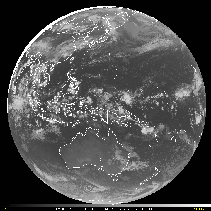
The Pacific Disaster Center’s (PDC Global) Monday, December 11, 2023, Tropical Cyclone Activity Report…for the Pacific Ocean, the Indian Ocean, and adjacent Seas
Current Tropical Cyclones:
Tropical cyclone 03P (Jasper)…is located approximately 126 NM east-northeast of Cairns, Australia
Northeast Pacific Ocean:
The North Pacific hurricane season officially ended on November 30, 2023. Routine issuance of the Tropical Weather Outlook will resume on May 15, 2024. During the off-season, Special Tropical Weather Outlooks will be issued as conditions warrant.
The eastern Pacific basin hurricane season was above normal, with 17 named storms, of which 10 were hurricanes and eight of those major hurricanes.
From August 16 to 21, Tropical Storm Hilary brought widespread heavy rainfall and flooding to Southern California, with some areas receiving up to 600% of their normal August rainfall. Hilary resulted in the first ever issuance of Tropical Storm Watches and Warnings for the Southern California coastline by NOAA’s National Hurricane Center. In addition, the Center distributed key hazard focused messages for Hilary in Spanish through the agency’s new language translation project.
Hurricane Otis made landfall near Acapulco, Mexico, on October 25 as a category-5 hurricane, with sustained winds of 165 mph. Otis holds the record as the strongest landfalling hurricane in the eastern Pacific, after undergoing rapid intensification in which wind speeds increased by 115 mph in 24 hours.
Central North Pacific:
The central North Pacific hurricane season officially ended on November 30, 2023. Routine issuance of the Tropical Weather Outlook will resume on June 1, 2024. During the off-season, Special Tropical Weather Outlooks will be issued as conditions warrant.
The central Pacific basin had a near-normal season with four tropical systems traversing the basin.
Hurricane Dora, a category-4 storm, passed south of Hawaii in early August, marking the first major hurricane in the central Pacific basin since 2020. The strong gradient between a high pressure system to the north and Dora to the south was a contributing factor to the wind-driven, fast-moving wildfires in Hawaii.
Western Pacific, Indian Ocean and adjacent Seas:
Southwest Pacific Ocean…
Tropical cyclone 03P (Jasper)
According to the JTWC warning number 29, sustained winds were 55 knots…with gusts to 70 knots
Animated enhanced infrared satellite imagery depicts tropical cyclone 03P (Jasper) having a mostly exposed mid-level with persistent deep convection north of the low-level circulation center (llcc) over the past six hours. A cloud-free dry slot in the northeast quadrant, observable in animated water vapor imagery, provides indication the TC continues to be entrained with dry air sourced from the Cape York Peninsula.
TC 03P (Jasper) is forecast to have a brief window (00 to 36 hours) to undergo slight re-intensification. As the system tracks west-northwestward through the shallow reefs east of Cairns, Australia, the environment offers marginally favorable conditions with warm sea surface temperatures, a remoistening of the middle layers of the atmosphere, and low (5-10 knot) vertical wind shear.
With landfall forecast to occur near 42 hours, the system is thereafter anticipated to track westward over land and dissipate prior to 72 hours. As global numerical guidance conveys, there is a possibility that after the vortex crosses the Cape York Peninsula it becomes revitalized in the Gulf of Carpentaria, potentially returning to a tropical cyclone.
