

")
Tropical Cyclone 03P (Jasper)
Friday, December 8, 2023
Current Snapshot
For all the latest updates visit: DisasterAWARE
10
By PDC’s Senior Weather
Specialist Glenn James

The Pacific Disaster Center’s (PDC Global) Friday, December 8, 2023, Tropical Cyclone Activity Report…for the Pacific Ocean, the Indian Ocean, and adjacent Seas
Current Tropical Cyclones:
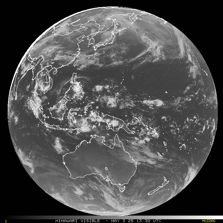
Tropical cyclone 03P (Jasper)…is located approximately 583 NM east of Cairns, Australia
Northeast Pacific Ocean:
The North Pacific hurricane season officially ended on November 30, 2023. Routine issuance of the Tropical Weather Outlook will resume on May 15, 2024. During the off-season, Special Tropical Weather Outlooks will be issued as conditions warrant.
The eastern Pacific basin hurricane season was above normal, with 17 named storms, of which 10 were hurricanes and eight of those major hurricanes.
From August 16 to 21, Tropical Storm Hilary brought widespread heavy rainfall and flooding to Southern California, with some areas receiving up to 600% of their normal August rainfall. Hilary resulted in the first ever issuance of Tropical Storm Watches and Warnings for the Southern California coastline by NOAA’s National Hurricane Center. In addition, the Center distributed key hazard focused messages for Hilary in Spanish through the agency’s new language translation project.
Hurricane Otis made landfall near Acapulco, Mexico, on October 25 as a category-5 hurricane, with sustained winds of 165 mph. Otis holds the record as the strongest landfalling hurricane in the eastern Pacific, after undergoing rapid intensification in which wind speeds increased by 115 mph in 24 hours.
Central North Pacific:
The central North Pacific hurricane season officially ended on November 30, 2023. Routine issuance of the Tropical Weather Outlook will resume on June 1, 2024. During the off-season, Special Tropical Weather Outlooks will be issued as conditions warrant.
The central Pacific basin had a near-normal season with four tropical systems traversing the basin.
Hurricane Dora, a category-4 storm, passed south of Hawaii in early August, marking the first major hurricane in the central Pacific basin since 2020. The strong gradient between a high pressure system to the north and Dora to the south was a contributing factor to the wind-driven, fast-moving wildfires in Hawaii.
Western Pacific, Indian Ocean and adjacent Seas:
Southwest Pacific Ocean…
Tropical cyclone 03P (Jasper)
According to the JTWC warning number 17, sustained winds were 90 knots…with gusts to 110 knots
Tropical cyclone 03P (TC) has weakened steadily due to dry air entrainment and increasing vertical wind shear (20-25 knots). Animated enhanced infrared satellite imagery depicts an increasingly asymmetric convective structure with deep convection wrapping around a cloud-filled eye.
Fortunately, a microwave image reveals a weak but defined microwave eye feature with deep convection over the southern and western semicircles. Additionally, much of the outer deep convective banding has eroded, due to dry air entrainment leaving exposed shallow banding.
TC 03P is forecast to gradually turn southwestward to west-southwestward through 48 hours, as it transitions to the steering influence of the ridge positioned to the south. Steady weakening will occur due to strong dry air entrainment and increasing (20 to 30 knots) vertical wind shear, associated with an upper-level trough impinging on the western periphery of the system.
After 48 hours, TC 03P will track westward along the northern periphery of the ridge to the south, which is expected to maintain through 120 hours. Additional weakening will occur through 72 hours, however, re-intensification is anticipated in the later time frame, as vertical wind shear relaxes and the system goes through a re-moistening phase.
