

")
Invest 95B
Thursday, November 30, 2023
Current Snapshot
For all the latest updates visit: DisasterAWARE

1800×10806

1800×108066
10

pdc95B

meteosat9_ir_95B_202311301536_lat8.2-lon86.9

95B_tracks_latest
By PDC’s Senior Weather
Specialist Glenn James

The Pacific Disaster Center’s (PDC Global) Thursday, November 30, 2023, Tropical Cyclone Activity Report…for the Pacific Ocean, the Indian Ocean, and adjacent Seas
Current Tropical Cyclones:
There are no Tropical Cyclones
Northeast Pacific Ocean:
There are no tropical cyclones nor any areas of disturbed weather under investigation by the National Hurricane Center (NHC) at the time of this writing.
The North Pacific hurricane season officially ends on November 30. Routine issuance of the Tropical Weather Outlook will resume on May 15, 2024. During the off-season, Special Tropical Weather Outlooks will be issued as conditions warrant.
Central North Pacific:
There are no tropical cyclones nor any areas of disturbed weather under investigation by the Central Pacific Hurricane Center (CPHC) at the time of this writing.
The central North Pacific hurricane season officially ends on November 30. Routine issuance of the Tropical Weather Outlook will resume on June 1, 2024. During the off-season, Special Tropical Weather Outlooks will be issued as conditions warrant.
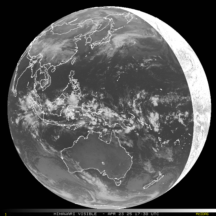
Western Pacific, Indian Ocean and adjacent Seas:
North Indian Ocean…
An area of disturbed weather, being referred to as Invest 95B…located approximately 454 NM southeast of Chennai, India, is under investigation by the Joint Typhoon Warning Center (JTWC).
Animated enhanced infrared satellite imagery and a microwave reveal a broad, elongated circulation with flaring convection to the northeast. The circulation is embedded within a monsoon trough draped across the Bay of Bengal from the south of Sri Lanka to the northwestern tip of Sumatra, enhanced by the Madden-Julian oscillation. Another pass depicts a belt of southwesterly winds are observed on the equatorward side of the system wrapping around to easterly winds on the poleward side.
Environmental analysis indicates favorable conditions with low (10-15 knot) vertical wind shear, warm sea surface temperatures, and moderate upper-level poleward outflow.
The global models are in agreement that invest 95B will continue to track steadily northwestward into the Bay of Bengal and gradually consolidate over the next 24-48 hours.
Maximum sustained surface winds are estimated at 18 to 23 knots.
The potential for the development of a significant tropical cyclone within the next 24 hours remains low.
