

")
Tropical Cyclone 19E (Pilar) / Invest 93E
Sunday, October 29, 2023
Current Snapshot
For all the latest updates visit: DisasterAWARE

1800×10804

1800×10805

pdc19e

tsat19e

083523_earliest_reasonable_toa_3419e
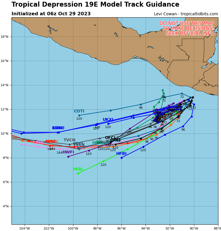
19E_tracks_latest

93e2

93e7

tsat93e

93E_tracks_latest
By PDC’s Senior Weather
Specialist Glenn James

The Pacific Disaster Center’s (PDC Global) Sunday, October 29, 2023, Tropical Cyclone Activity Report…for the Pacific Ocean, the Indian Ocean, and adjacent Seas
Current Tropical Cyclones:
Tropical Cyclone 19E (Pilar)…located about 265 miles southwest of San Salvador, El Salvador
Northeast Pacific Ocean:
Tropical Cyclone 19E (Pilar)
DEPRESSION INTENSIFIES INTO TROPICAL STORM PILAR…HEAVY RAINFALL AND FLASH FLOODING EXPECTED IN CENTRAL AMERICA THIS WEEK AS PILAR MOVES CLOSER TO LAND
According to the NHC advisory number 6
Pilar is moving toward the east-northeast near 5 mph (7 km/h) and a continued east-northeastward motion is anticipated for the next couple of days.
On the forecast track, Pilar could be near the coast of El Salvador on Tuesday night or early Wednesday, though the core of the system is forecast to stay offshore.
Maximum sustained winds have increased to near 40 mph (65 km/h) with higher gusts. Additional strengthening is forecast over the next couple of days, and Pilar could be near hurricane strength by Tuesday.
Tropical-storm-force winds extend outward up to 35 miles (55 km) from the center.
HAZARDS AFFECTING LAND
RAINFALL: Tropical Storm Pilar is expected to produce storm total rainfall of 5 to 10 inches, with local amounts to 15 inches, in and around much of the Pacific coast of Central America, including the country of El Salvador, through Wednesday.
This rainfall will produce flash and urban flooding, along with mudslides in areas of higher terrain.
SURF: Swells generated by the depression are expected to reach portions of the Pacific coast of Central America on Monday. These swells are likely to cause life-threatening surf and rip current conditions.
>>> Southwestern East Pacific…
Invest 93E
An area of low pressure located more than 1000 miles south-southwest of the southern tip of the Baja California peninsula is producing disorganized showers and thunderstorms.
Environmental conditions are marginally conducive for slow development of this system during the next couple of days while the low drifts generally northeastward. By the middle of the week, upper-level winds are forecast to become less conducive for additional development.
* Formation chance through 48 hours…low…30 percent
* Formation chance through 5 days…low…30 percent
Central North Pacific:
There are no tropical cyclones, nor any areas of disturbed weather under investigation by the CPHC at the time of this writing.
Western Pacific, Indian Ocean and adjacent Seas:
There are no tropical cyclones, nor any areas of disturbed weather under investigation by the JTWC at the time of this writing.
