

")
Tropical Cyclone 19E (Pilar)
Sunday, November 5, 2023
Current Snapshot
For all the latest updates visit: DisasterAWARE

1800×10805

1800×108055

pdcpilar

tsatpilar

143736_earliest_reasonable_toa_34pilar
19E_tracks_latest
By PDC’s Senior Weather
Specialist Glenn James

The Pacific Disaster Center’s (PDC Global) Sunday, November 5, 2023, Tropical Cyclone Activity Report…for the Pacific Ocean, the Indian Ocean, and adjacent Seas
Current Tropical Cyclones:
Tropical Cyclone 19E (Pilar)…located about 855 miles south-southwest of the southern tip of Baja California
Northeast Pacific Ocean:
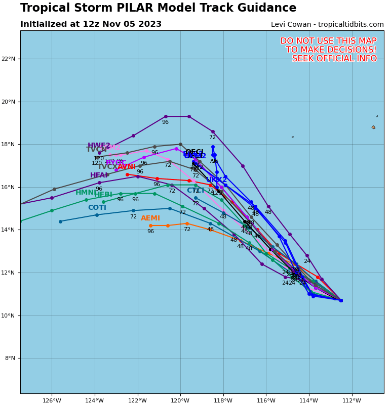
Tropical Cyclone 19E (Pilar)
PILAR TURNS WEST-NORTHWESTWARD
According to the NHC advisory number 32
Pilar is moving toward the west-northwest near 8 mph (13 km/h), and this motion is expected to continue through tonight. A northwestward motion is forecast to begin early Monday and continue through mid-week.
Maximum sustained winds are near 50 mph (85 km/h) with higher gusts. Gradual weakening is forecast during the next few days, and Pilar is expected to become a remnant low by Tuesday.
Tropical-storm-force winds extend outward up to 60 miles (95 km) from the center.
Central North Pacific:
There are no tropical cyclones, nor any areas of disturbed weather under investigation by the CPHC at the time of this writing.
Western Pacific, Indian Ocean and adjacent Seas:
There are no tropical cyclones, nor any areas of disturbed weather under investigation by the JTWC at the time of this writing.
