Current Snapshot
For all the latest updates visit: DisasterAWARE
By PDC’s Senior Weather
Specialist Glenn James

The Pacific Disaster Center’s (PDC Global) Monday, May 20, 2024, Tropical Cyclone Activity Report…for the Pacific Ocean, the Indian Ocean, and adjacent Seas
Current Tropical Cyclones:
Tropical Cyclone 24S (Ialy) is located approximately 241 NM east-northeast of Dar Es Salaam
Northeast Pacific Ocean:
Tropical cyclone formation is not expected during the next 7 days.
Central North Pacific:
The central North Pacific hurricane season officially ended on November 30, 2023. Routine issuance of the Tropical Weather Outlook will resume on June 1, 2024. During the off-season, Special Tropical Weather Outlooks will be issued as conditions warrant.
The central Pacific basin had a near-normal season with four tropical systems traversing the basin.
Hurricane Dora, a category-4 storm, passed south of Hawaii in early August, marking the first major hurricane in the central Pacific basin since 2020. The strong gradient between a high pressure system to the north and Dora to the south was a contributing factor to the wind-driven, fast-moving wildfires in Hawaii.
Western Pacific, Indian Ocean and adjacent Seas
South Indian Ocean
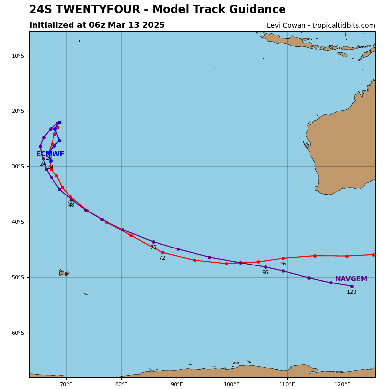
Tropical Cyclone 24S (Ialy)
According to the JTWC Warning number 10…sustained winds were 55 knots, with gusts to near 70 knots
Animated multi-spectral satellite imagery depicts deep convection redeveloping around the circulation center, which presents as an eye feature.
Ongoing re-consolidation of the low-level structure and an apparent jog farther to the west than previously anticipated, is contributing some uncertainty to the initial position. The initial intensity of 50 knots is assessed with medium confidence
Tropical cyclone 24S is displaying structural improvements including the reappearance of a microwave eye with support from generally favorable near-term environmental conditions. Additional improvement and perhaps some intensification over the next six hours seems likely at this point. However, any intensification trend will likely be short lived.
The system will face increasingly unfavorable conditions as the near-equatorial ridge to the west exerts an increasing influence on storm motion and carries the system northward over the next day and a half.
TC 24S is expected to contend with increasing easterly vertical wind shear, reduced poleward outflow aloft, and entrainment of drier continental air by 12 hours. These factors are expected to drive weakening until the system dissipates below the warning threshold intensity of 35 knots by 36 hours.


