

")
Invest 91P
Sunday, May 5, 2024
Current Snapshot
For all the latest updates visit: DisasterAWARE

10

pdc91p

himawari9_ir_91P_202405051510_lat-6.5-lon135.0
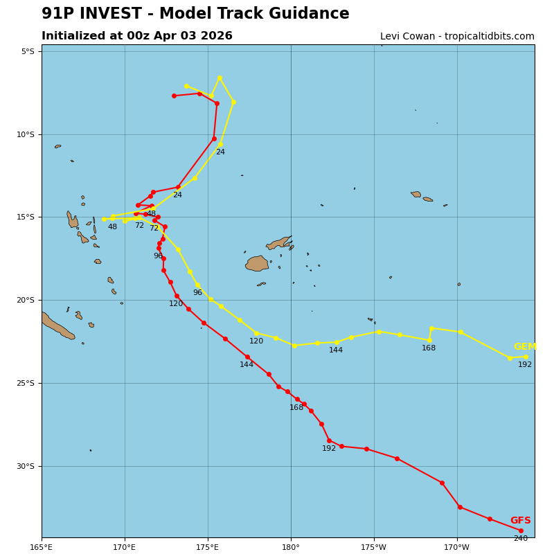
91P_tracks_latest
By PDC’s Senior Weather
Specialist Glenn James

The Pacific Disaster Center’s (PDC Global) Sunday, May 5, 2024, Tropical Cyclone Activity Report…for the Pacific Ocean, the Indian Ocean, and adjacent Seas
Current Tropical Cyclones:
There are no active Tropical Cyclones…although there’s an area of disturbed weather being referred to as Invest 91P in the Southwest Pacific Ocean
Northeast Pacific Ocean:
The North Pacific hurricane season officially ended on November 30, 2023. Routine issuance of the Tropical Weather Outlook will resume on May 15, 2024. During the off-season, Special Tropical Weather Outlooks will be issued as conditions warrant.
The eastern Pacific basin hurricane season was above normal, with 17 named storms, of which 10 were hurricanes and eight of those major hurricanes.
From August 16 to 21, Tropical Storm Hilary brought widespread heavy rainfall and flooding to Southern California, with some areas receiving up to 600% of their normal August rainfall. Hilary resulted in the first ever issuance of Tropical Storm Watches and Warnings for the Southern California coastline by NOAA’s National Hurricane Center. In addition, the Center distributed key hazard focused messages for Hilary in Spanish through the agency’s new language translation project.
Hurricane Otis made landfall near Acapulco, Mexico, on October 25 as a category-5 hurricane, with sustained winds of 165 mph. Otis holds the record as the strongest land falling hurricane in the eastern Pacific, after undergoing rapid intensification in which wind speeds increased by 115 mph in 24 hours.
Central North Pacific:
The central North Pacific hurricane season officially ended on November 30, 2023. Routine issuance of the Tropical Weather Outlook will resume on June 1, 2024. During the off-season, Special Tropical Weather Outlooks will be issued as conditions warrant.
The central Pacific basin had a near-normal season with four tropical systems traversing the basin.
Hurricane Dora, a category-4 storm, passed south of Hawaii in early August, marking the first major hurricane in the central Pacific basin since 2020. The strong gradient between a high pressure system to the north and Dora to the south was a contributing factor to the wind-driven, fast-moving wildfires in Hawaii.
Western Pacific, Indian Ocean and adjacent Seas
Southwest Pacific Ocean…
There’s an area of disturbed weather, being referred to as Invest 91P…which is located approximately 374 NM north of Gove Airport, Australia
Animated multi-spectral satellite imagery depicts a broad low-level circulation center (llcc) with isolated flaring convection sheared to the southwest.
Outflow has degraded and become minimally favorable aloft. Elevated 20-30 knot vertical wind shear from the northeast is hindering development. sea surface temperatures remain favorable. An image captured a broad circulation with minimal deep convection to the southwest. A recent pass at depicts a broad llcc with 20-25 knot winds in the southern semi-circle of the system.
Global model guidance has backed off on intensification over the next two days, instead depicting a broad and nearly quasi-stationary circulation that will persist over water.
Maximum sustained surface winds are estimated at 20 to 25 knots.
The potential for the development of a significant tropical cyclone within the next 24 hours is downgraded to low.
