

")
Tropical Cyclone 10P (Nat) / Tropical Cyclone 11P (Osai) / Tropical Cyclone 12PP
Wednesday, February 7, 2024
Current Snapshot
For all the latest updates visit: DisasterAWARE

66

PDC2

10P_070600sair

goes18_ir_10P_202402071505_lat-19.3-lon-151.1

10P_tracks_latest

11P_071200sair

goes18_ir_11P_202402071505_lat-16.5-lon-165.6

11P_tracks_latest

1
2
By PDC’s Senior Weather
Specialist Glenn James

The Pacific Disaster Center’s (PDC Global) Wednesday, February 7, 2024, Tropical Cyclone Activity Report…for the Pacific Ocean, the Indian Ocean, and adjacent Seas
Current Tropical Cyclones:
Tropical Cyclone 10P (Nat)…is located approximately 162 NM southwest of Papeete, Tahiti
Tropical Cyclone 11P (Osai)…is located approximately 309 NM east-northeast of Niue
Tropical Cyclone 12P…is located approximately 350 NM west-northwest of Port Vila, Vanuatu
Northeast Pacific Ocean:
The North Pacific hurricane season officially ended on November 30, 2023. Routine issuance of the Tropical Weather Outlook will resume on May 15, 2024. During the off-season, Special Tropical Weather Outlooks will be issued as conditions warrant.
The eastern Pacific basin hurricane season was above normal, with 17 named storms, of which 10 were hurricanes and eight of those major hurricanes.
From August 16 to 21, Tropical Storm Hilary brought widespread heavy rainfall and flooding to Southern California, with some areas receiving up to 600% of their normal August rainfall. Hilary resulted in the first ever issuance of Tropical Storm Watches and Warnings for the Southern California coastline by NOAA’s National Hurricane Center. In addition, the Center distributed key hazard focused messages for Hilary in Spanish through the agency’s new language translation project.
Hurricane Otis made landfall near Acapulco, Mexico, on October 25 as a category-5 hurricane, with sustained winds of 165 mph. Otis holds the record as the strongest land falling hurricane in the eastern Pacific, after undergoing rapid intensification in which wind speeds increased by 115 mph in 24 hours.
Central North Pacific:
The central North Pacific hurricane season officially ended on November 30, 2023. Routine issuance of the Tropical Weather Outlook will resume on June 1, 2024. During the off-season, Special Tropical Weather Outlooks will be issued as conditions warrant.
The central Pacific basin had a near-normal season with four tropical systems traversing the basin.
Hurricane Dora, a category-4 storm, passed south of Hawaii in early August, marking the first major hurricane in the central Pacific basin since 2020. The strong gradient between a high pressure system to the north and Dora to the south was a contributing factor to the wind-driven, fast-moving wildfires in Hawaii.
Western Pacific, Indian Ocean and adjacent Seas:
Southwestern Pacific Ocean…
Tropical Cyclone 10P (Nat)
According to the JTWC warning number 7, sustained winds are 45 knots…with gusts to near 55 knots.
Animated multi-spectral satellite imagery shows a medium-sized system with no significant feeder bands tracking south of the French Polynesian Islands. The low level circulation is partly exposed with the main convection sheared eastward.
Analysis indicates a marginal environment with warm sea surface temperatures and strong poleward outflow offset by high vertical wind shear and dry air entrainment at the low levels.
TC Nat will continue westward under the steering influence of the ridge to the north. The marginal environment will sustain the current intensity at best before vertical wind shear and dry air entrainment will dominate and dissipate the system by 36 hours, possibly sooner.
Tropical Cyclone 11P (Osai)
According to the JTWC warning number 6, sustained winds are 45 knots…with gusts to near 55 knots.
Animated multi-spectral satellite imagery shows a midget-sized system with shallow rain bands feeding into the low level circulation that is obscured by a cold dense overcast that has deepened slightly in the last six hours.
Analysis indicates a marginally favorable environment with warm sea surface temperatures and strong poleward outflow offset by moderate-high vertical wind shear.
TC 11P will continue southeastward under the steering ridge up to 24 hours. Afterward, a subtropical ridge to the south will block its forward motion and compete for steering.
The marginally favorable environment will become unfavorable with increasing vertical wind shear as the system drifts into the prevailing westerlies, leading to gradual decay and eventual dissipation by 36 hours.
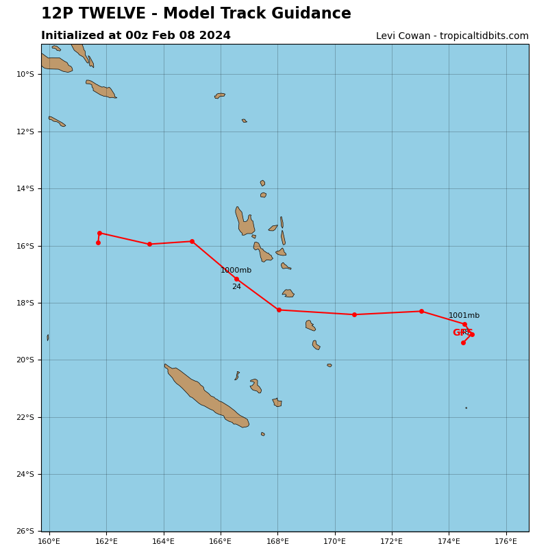
Tropical Cyclone 12P
According to the JTWC warning number 1, sustained winds are 35 knots…with gusts to near 45 knots.
