

")
Tropical Cyclone 13S (Djoungou) / Tropical Cyclone 16S / Remnants of 14P / Invest 97P / Invest 96P
Monday, February 19, 2024
Current Snapshot
For all the latest updates visit: DisasterAWARE

10

kpdcs2

13S_190600sair

meteosat9_ir_13S_202402191606_lat-27.3-lon88.3

16S_191200sair

meteosat9_ir_16S_202402191606_lat-14.3-lon55.9

16S_tracks_latest

himawari9_ir_14P_202402191550_lat-18.4-lon128.1

14P_tracks_latest

pdc2p

himawari9_ir_97P_202402191550_lat-19.0-lon173.0
97P_tracks_latest

goes18_ir_96P_202402191605_lat-15.2-lon-170.7
96P_tracks_latest
By PDC’s Senior Weather
Specialist Glenn James

The Pacific Disaster Center’s (PDC Global) Monday, February 19, 2024, Tropical Cyclone Activity Report…for the Pacific Ocean, the Indian Ocean, and adjacent Seas
Current Tropical Cyclones:
Tropical Cyclone 13S (Djoungou)…is located approximately 1271 NM west-southwest of Learmonth, Australia – Final Warning
Tropical Cyclone 16S…is located approximately 366 NM north of Port Louis, Mauritius
Northeast Pacific Ocean:
The North Pacific hurricane season officially ended on November 30, 2023. Routine issuance of the Tropical Weather Outlook will resume on May 15, 2024. During the off-season, Special Tropical Weather Outlooks will be issued as conditions warrant.
The eastern Pacific basin hurricane season was above normal, with 17 named storms, of which 10 were hurricanes and eight of those major hurricanes.
From August 16 to 21, Tropical Storm Hilary brought widespread heavy rainfall and flooding to Southern California, with some areas receiving up to 600% of their normal August rainfall. Hilary resulted in the first ever issuance of Tropical Storm Watches and Warnings for the Southern California coastline by NOAA’s National Hurricane Center. In addition, the Center distributed key hazard focused messages for Hilary in Spanish through the agency’s new language translation project.
Hurricane Otis made landfall near Acapulco, Mexico, on October 25 as a category-5 hurricane, with sustained winds of 165 mph. Otis holds the record as the strongest land falling hurricane in the eastern Pacific, after undergoing rapid intensification in which wind speeds increased by 115 mph in 24 hours.
Central North Pacific:
The central North Pacific hurricane season officially ended on November 30, 2023. Routine issuance of the Tropical Weather Outlook will resume on June 1, 2024. During the off-season, Special Tropical Weather Outlooks will be issued as conditions warrant.
The central Pacific basin had a near-normal season with four tropical systems traversing the basin.
Hurricane Dora, a category-4 storm, passed south of Hawaii in early August, marking the first major hurricane in the central Pacific basin since 2020. The strong gradient between a high pressure system to the north and Dora to the south was a contributing factor to the wind-driven, fast-moving wildfires in Hawaii.
Western Pacific, Indian Ocean and adjacent Seas
South Indian Ocean…
Tropical Cyclone 13S (Djoungou) – Final Warning
According to the JTWC warning number 9, sustained winds are 55 knots…with gusts to near 70 knots
Animated multi-spectral satellite imagery (msi) depicts tropical cyclone 13S (Djoungou) exhibiting a rapidly deteriorating structure due to the influence of very strong (35-40 knot) vertical wind shear and dry air entrainment over the past twelve hours. Deep convection persists southeast of the low level circulation center, showing the TC vortex to be tilted but still providing necessary outflow.
Environmental analysis shows the TC has crossed into cooler water, removing necessary warm water intake at the surface. With marginally favorable divergence being the only supporting environmental factor for sustainment, the environment is assessed as unfavorable overall.
TC 13P is forecast to track generally east-southeastward through 36 hours, following the steering influence of a deep-layer subtropical ridge anchored over west-central Australia. With the aforementioned unfavorable environment in play, intensity is forecast to rapidly fall as the system transitions to subtropical by 12 hours, becoming extratropical prior to 36 hours.
A moderate temperature gradient and elongation of the low level circulation center suggest that the subtropical transition has commenced. Near 12 hours, numerical models and statistical-dynamical guidance suggest divergence aloft sharply and significantly declines, removing the last favorable environmental element supporting sustainment of the system..
Tropical Cyclone 16S
According to the JTWC warning number 3, sustained winds are 50 knots…with gusts to near 65 knots
Animated multi-spectral satellite imagery depicts tropical cyclone 16S having rapidly consolidated in the lower levels with persistent convection partially obscuring the low level circulation center (llcc) over past 12 hours. A microwave satellite image revealed significant shallow banding wrapping into the llcc with associated deep convection offset slightly (20 NM) to the northeast.
The environment is assessed as highly favorable for further intensification exhibiting low (5-10 knot) vertical wind shear (vws), good dual-channel divergence aloft, and very warm sea surface temperatures (sst).
TC 16S is forecast to track eastward through 24 hours along the southern periphery of a near equatorial ridge. A very favorable environment is anticipated to support possible rapid intensification, but certainly intensification over this interval. From 24 to 36 hours, the system is steered to a southward track by the ridge to the northeast, further intensifying along track.
With vws elevating to moderate (10-20 knots) by 36 hours, intensification is anticipated to slow thereafter but continue gradually up to a peak intensity of near 75 knots around 60 hours. After that, divergence aloft is expected to rapidly decrease, putting restraint to any further intensification and begin a gradual weakening trend, lasting through 120 hours. Near 96 hours, westward propagation of a ridge east of the llcc is anticipated to turn the system to a westward track through 120 hours.
>>> There’s an area of disturbed weather being referred to as the Remnants of 14P…which is located approximately 372 NM south-southwest of Darwin, Australia
Animated enhanced infrared (eir) satellite imagery depict a well-defined low-level circulation with organized convection and shallow banding. Remnants of 14P are currently located over land.
Environmental analysis indicates poor equatorward outflow aloft offset by low (5-10 knot) vertical wind shear and good convergence at the surface.
Global numerical model guidance is in good agreement that remnants of 14P will continue tracking west-northwestward with potential to further consolidate as it nears the northwest Australian coastline.
Maximum sustained surface winds are estimated at 20 to 25 knots.
The potential for the development of a significant tropical cyclone within the next 24 hours is upgraded to medium.
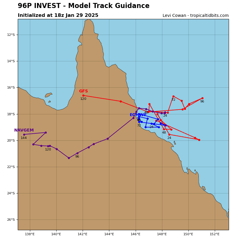
>>> There’s an area of disturbed weather being referred to as the Invest 96P…which is located approximately 45 NM southwest of Pago Pago, American Samoa
Animated enhanced infrared (eir) satellite imagery depict an elongated low level circulation center (northwest to southeast orientation) obscured by persistent convection over the past six hours. The data suggests the highest wind speeds reside in the northeastern and southwestern quadrant of the system.
Furthermore, upper-level analysis indicates 96P is in a favorable environment for development with low to moderate (10-20 knot) vws offset by good poleward divergence aloft and warm sea surface temperatures.
Though global models have been toggling development from one model run to the next, global numerical ensemble guidance is in good agreement that 96P will continue to track generally southward over the next 24 hours as it continues to consolidate.
Maximum sustained surface winds are estimated at 23 to 27 knots.
The potential for the development of a significant tropical cyclone within the next 24 hours is low.
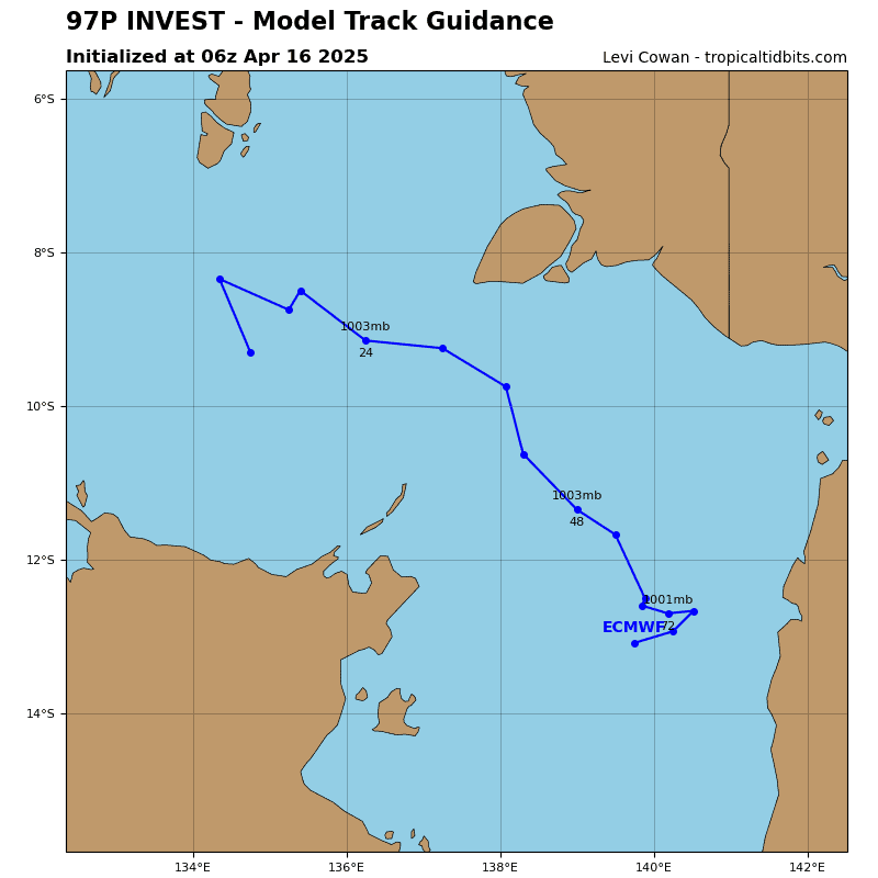
>>> There’s an area of disturbed weather being referred to as the Invest 97P…which is located approximately 283 NM east of Port Vila, Vanuatu
Animated enhanced infrared (eir) satellite imagery depict a broad area of turning partially obscured by flaring convection that is being sheared to the southeast.
furthermore, upper-level analysis indicates 97P is in a favorable environment for development with low to moderate (10-20 knot) vws offset by good poleward divergence aloft and warm sea surface temperatures.
Though global models have been toggling development from one model run to the next, global numerical ensemble guidance is in good agreement that 97P will continue to track generally south-southeastward over the next 24 hours as it continues to consolidate.
Maximum sustained surface winds are estimated at 18 to 22 knots.
The potential for the development of a significant tropical cyclone within the next 24 hours is low.
