
")
Current Snapshot
For all the latest updates visit: DisasterAWARE

GOES18-TPW-13-900×540
93w
himawari9_ir_93W_202512031430_lat14.2-lon132.4
93W_tracks_latest
99p

goes18_ir_99P_202512031445_lat-19.2-lon-147.2
99P_tracks_latest
By PDC’s Senior Weather
Specialist Glenn James

The Pacific Disaster Center’s (PDC Global) Wednesday, December 3, 2025, Tropical Cyclone Activity Report…for the Pacific Ocean, the Indian Ocean, and adjacent Seas
Current Tropical Cyclones:
There are no active tropical cyclones
Northeast Pacific Ocean: There are no Tropical Cyclones
The last regularly scheduled Tropical Cyclone Activity Report of the 2025 eastern North Pacific Hurricane Season has been issued. Routine issuance of this section of the PDC product will resume on May 15, 2026. During the off-season, Special Tropical Weather Outlooks will be issued as conditions warrant by the NHC.
Central Pacific Ocean: There are no Tropical Cyclones
The 2025 central North Pacific hurricane season has ended. As such, the final routine Tropical Cyclone Activity Report for the 2025 season has been issued. Routine issuance of this section of the PDC product will resume on June 1, 2026. During the off-season, Special Tropical Weather Outlooks will be issued as conditions warrant by the CPHC.
Western Pacific, Indian Ocean, and adjacent Seas:
Western Pacific
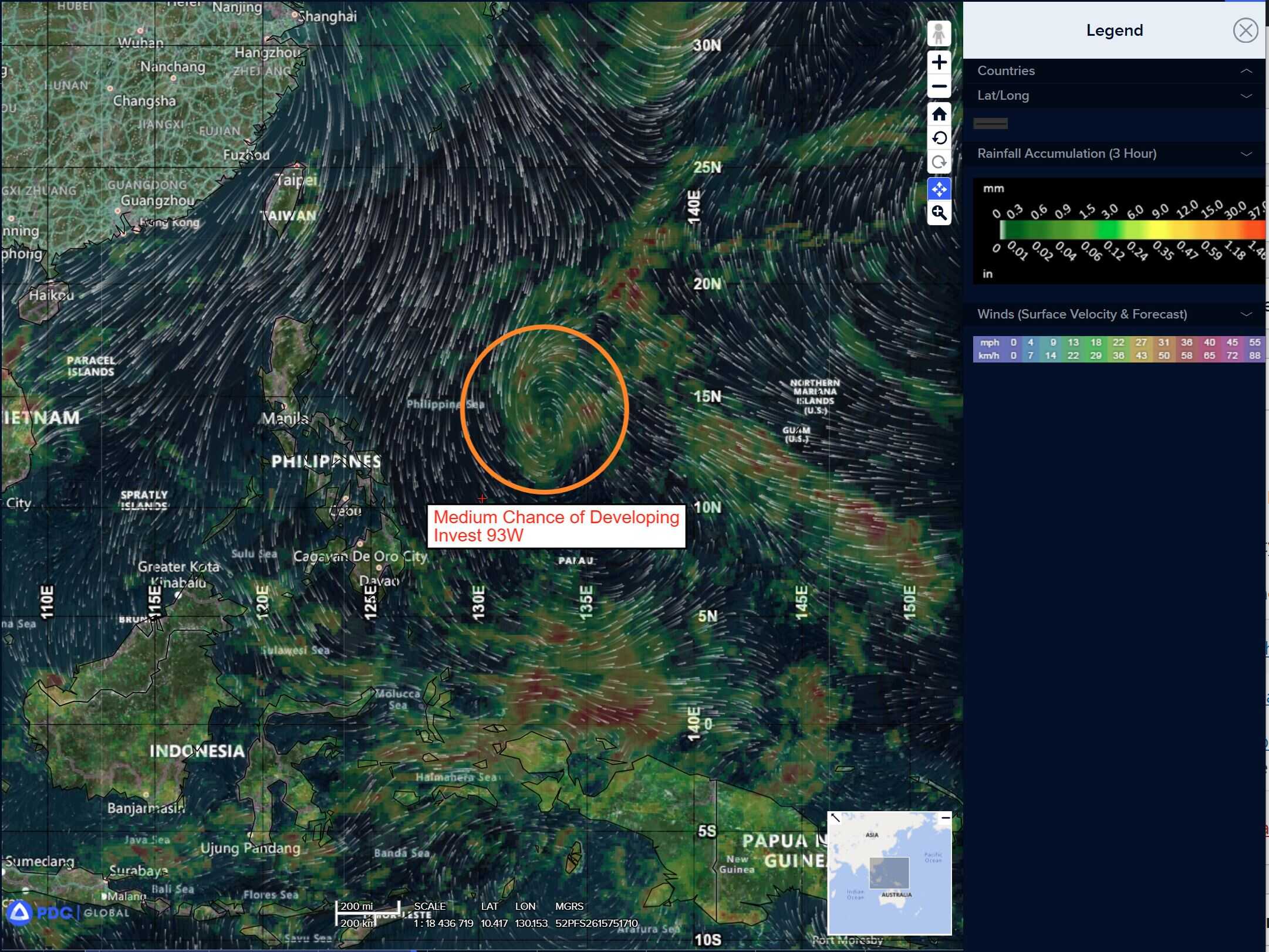
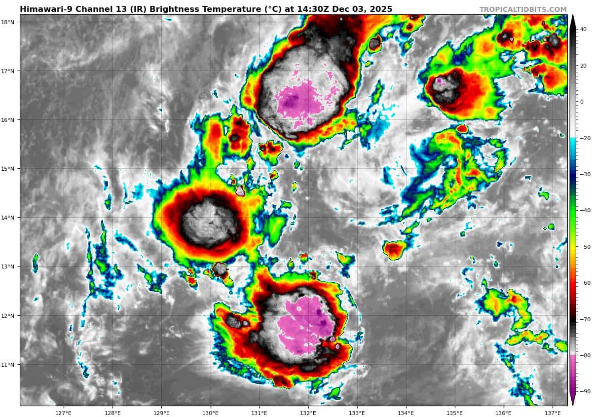
>>> There’s an area of disturbed weather being referred to as Invest 93W which is located approximately 417 NM east of Legazpi
Animated multi-spectral satellite imagery (msi) depicts a poorly defined low level circulation center (llcc) with weak convection associated with the llcc. A 12040130z ascat-c pass reveals an asymmetrical wind field of 25-30 knots to the west and north of the llcc, with 15-20 knot winds wrapping near the llcc.
Environmental analysis reveals favorable conditions for development with low vertical wind shear (15 knots or less), good upper-level poleward outflow aloft, and warm sea surface temperatures (27-28 c).
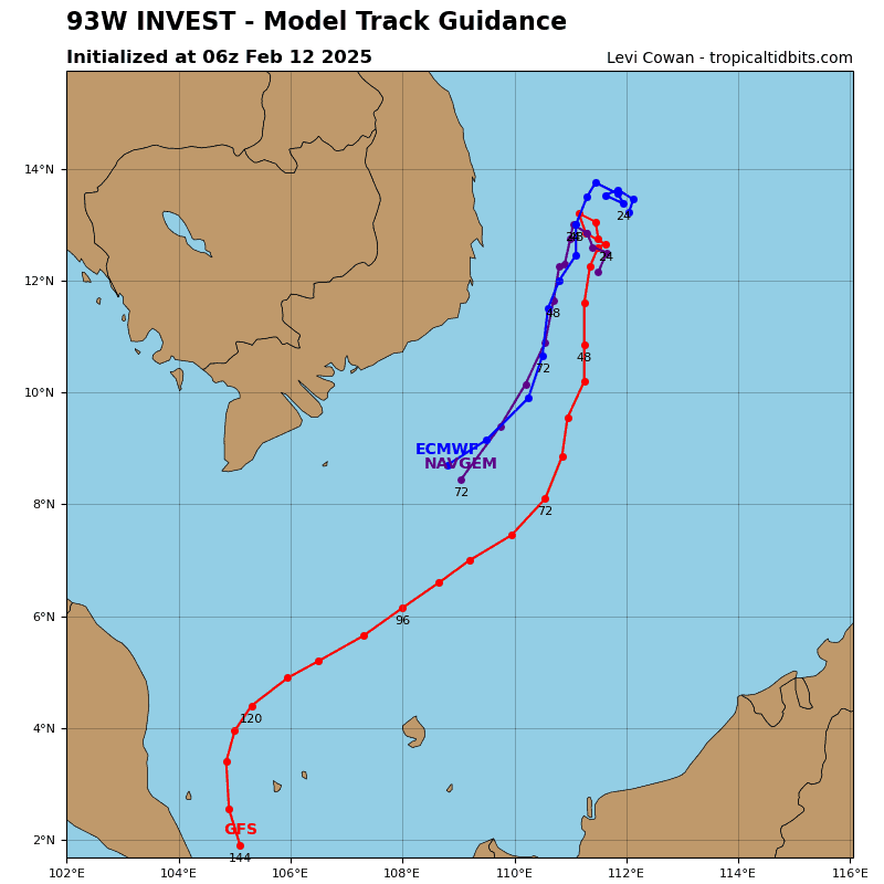
Global models are in fair agreement that invest 93W will slowly consolidate as it tracks toward the central Philippines.
Maximum sustained surface winds are estimated at 18 to 23 knots.
The potential for the development of a significant tropical cyclone within the next 24 hours remains medium.
Southwestern Pacific
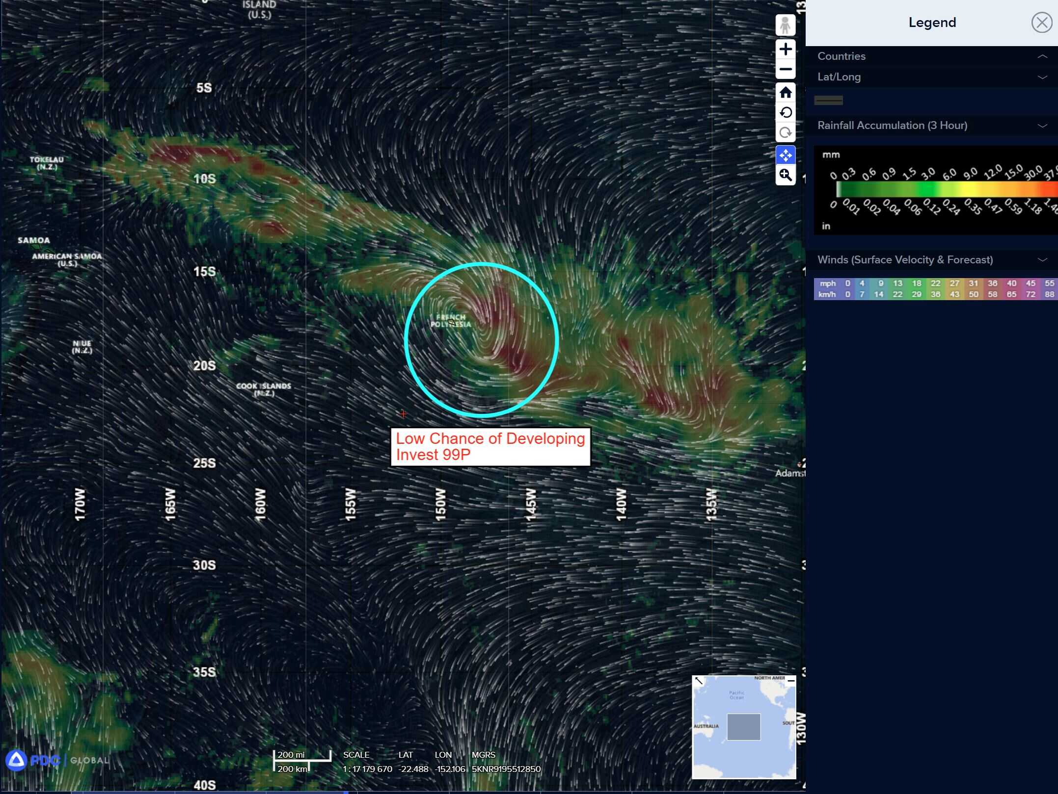
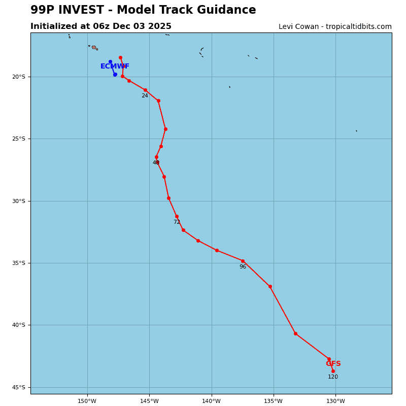
>>> There’s an area of disturbed weather being referred to as Invest 99P which is located approximately 44 NM northwest of Fare.
Animated enhanced infrared satellite imagery (eir) and a 040212z ssmis 91 ghz microwave image depict a highly elongated low level circulation center (llcc) with deep convection heavily sheared off to the southeast.
Environmental analysis reveals unfavorable conditions for development with high vertical wind shear (25 knots or greater), strong poleward and equatorward outflow, and cool sea surface temperatures (25-26 c).
Global models are in good agreement that invest 99p will continue to transit poleward over the next 48 hours.
Maximum sustained surface winds are estimated at 28 to 33 knots.
The potential for the development of a significant tropical cyclone within the next 24 hours remains low.